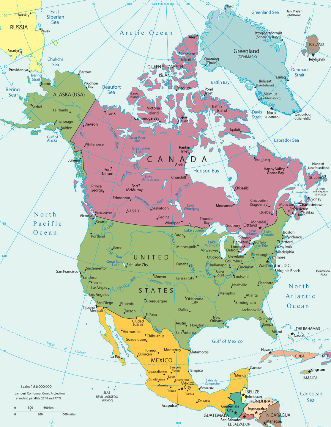
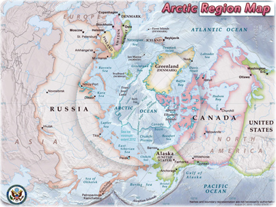
Political Map of North America
North America is one of the four parts of the American continent (the others are Central America, Antilles and South America). It includes Canada (the 2nd largest country in area in the world), the United States (3rd largest), and Mexico. North America also includes Greenland, the largest island, as well as the small French overseas department of Saint-Pierre and Miquelon (made up of small islands in the Atlantic Ocean).
More: Photos of North America ►
|
Copyright © Geographic Guide - Maps World. North America Geography. |

San Francisco, California.
Continents
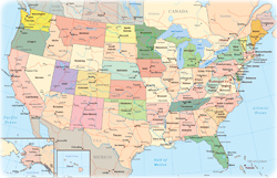

US States


M. Bowen