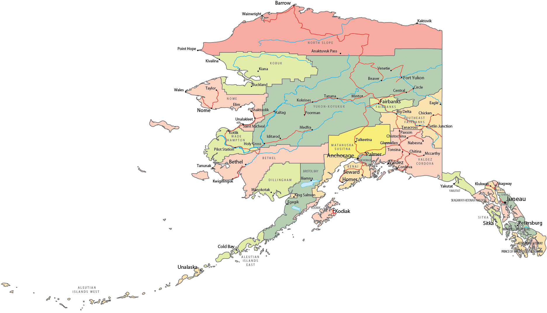
Political Map of Alaska


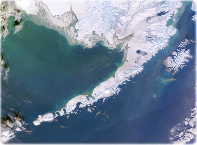
The Aleutian Islands, Alaska - Vast stretches of sea ice link Alaska’s Aleutian Islands (NASA - January 3, 2004). This chain of volcanic islands stretches in an arc over 1200 miles long from the Alaskan Peninsula almost to Russia’s Komanorski Islands. They separate the Bering Sea from the northern Pacific Ocean, and are almost all part of the Aleutian National Wildlife Reserve. Phytoplankton clouds line the northern edges of the sea ice, creating a bluish-green halo.

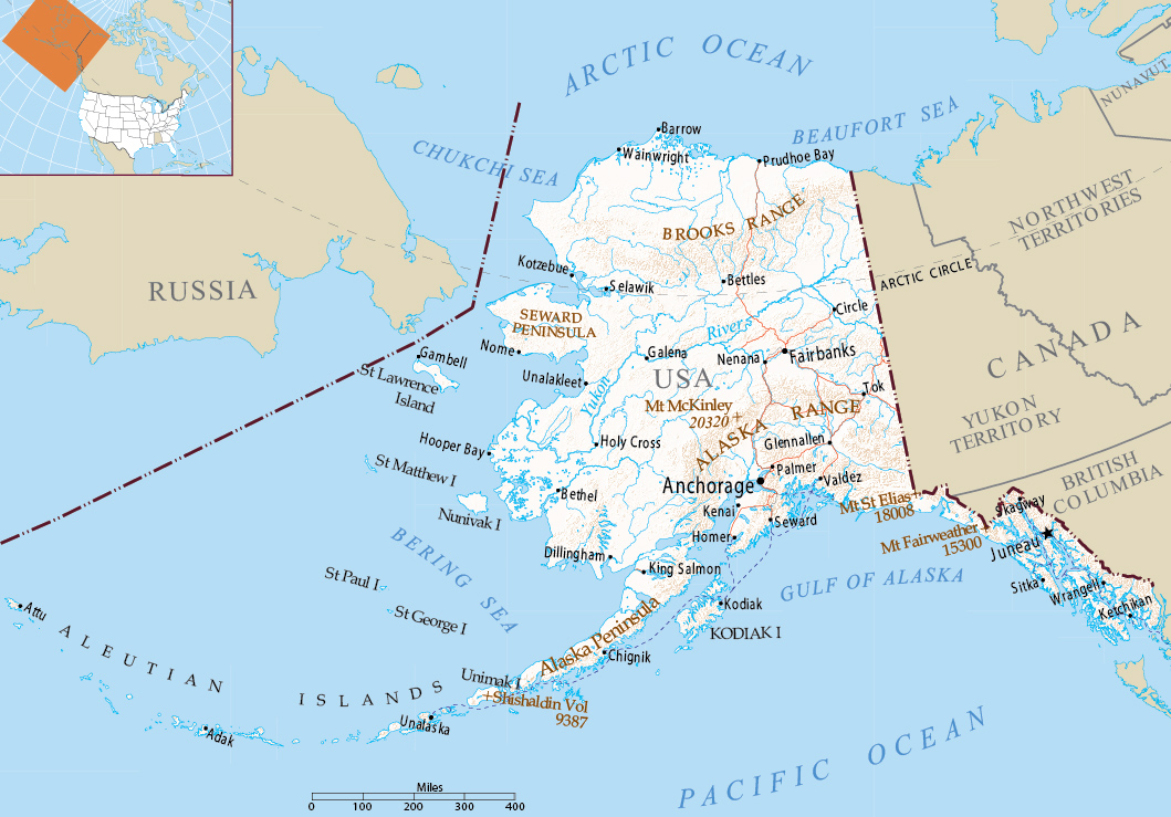
Map of Alaska - Multimodal
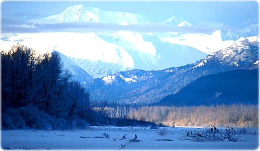
Chilkat river valley, Alaska.
Source (edited): U.S. Geological Survey.

|
Copyright © Geographic Guide - Maps World, American Continent. |