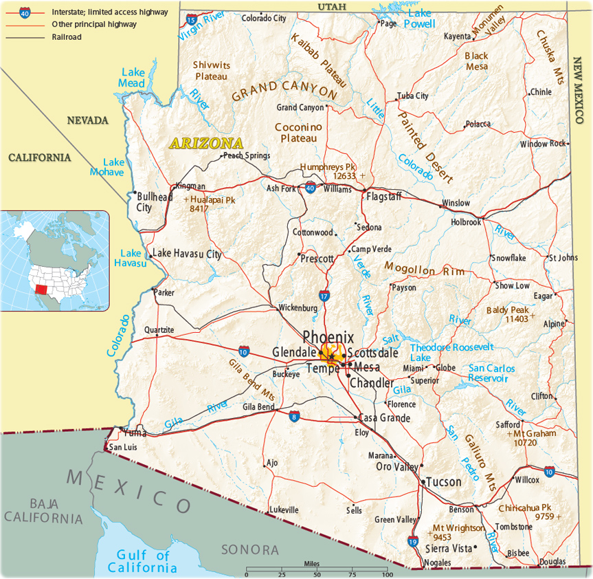
Map of Arizona
The state of Arizona is in the Southwestern United States. It shares the Four Corners region with New Mexico, Colorado and Utah. Its other neighboring states are Nevada and California to the west. Mexico is to the south. The capital and largest city is Phoenix.


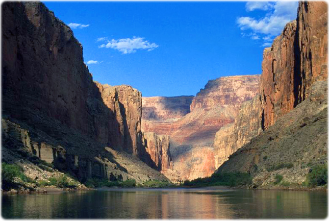
View of the Marble Canyon, Colorado River, in northern Arizona.
|
Copyright © Geographic Guide - Maps World. United States of America. |
Source (edited): U.S. Geological Survey.
