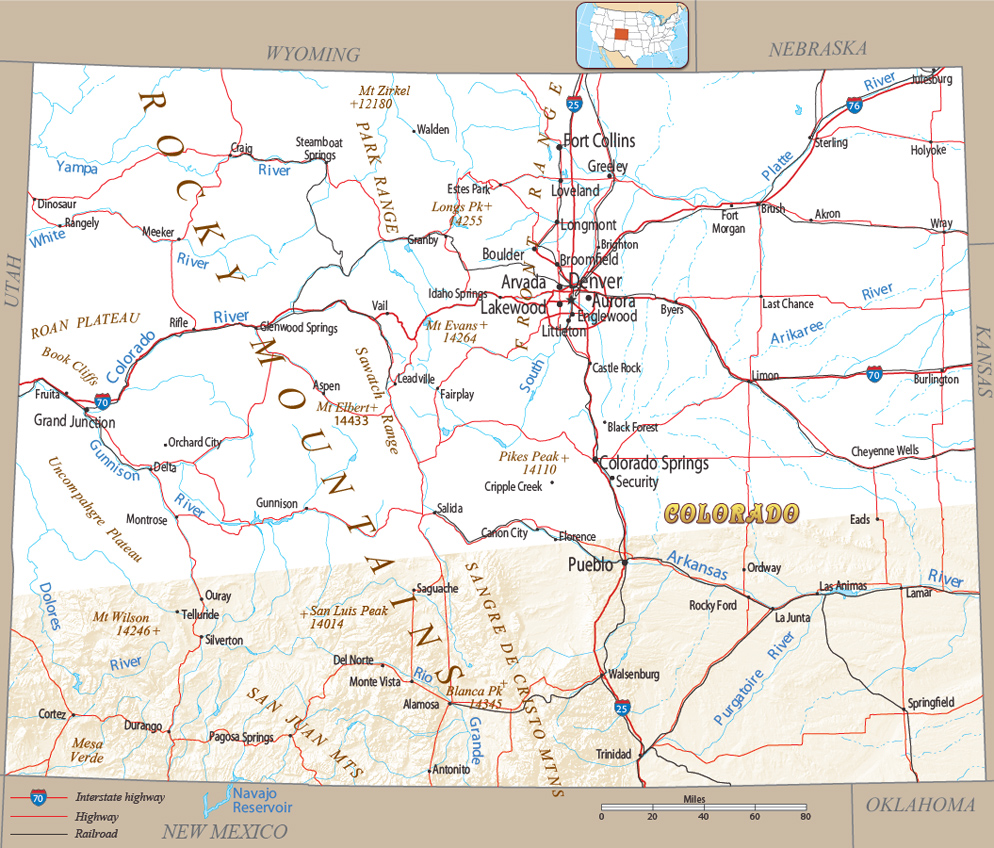
Map of Colorado

The State of Colorado, in Southwestern United States, is bordered by Wyoming to the north, Nebraska to the northeast, Kansas to the east, Oklahoma to the southeast, New Mexico to the south, Utah to the west, and touches Arizona to the southwest.
View of the Frying Pan River, colors of Autumn in Colorado.

|
Copyright © Geographic Guide - Maps World. United States of America. |
Source (edited): U.S. Geological Survey.
