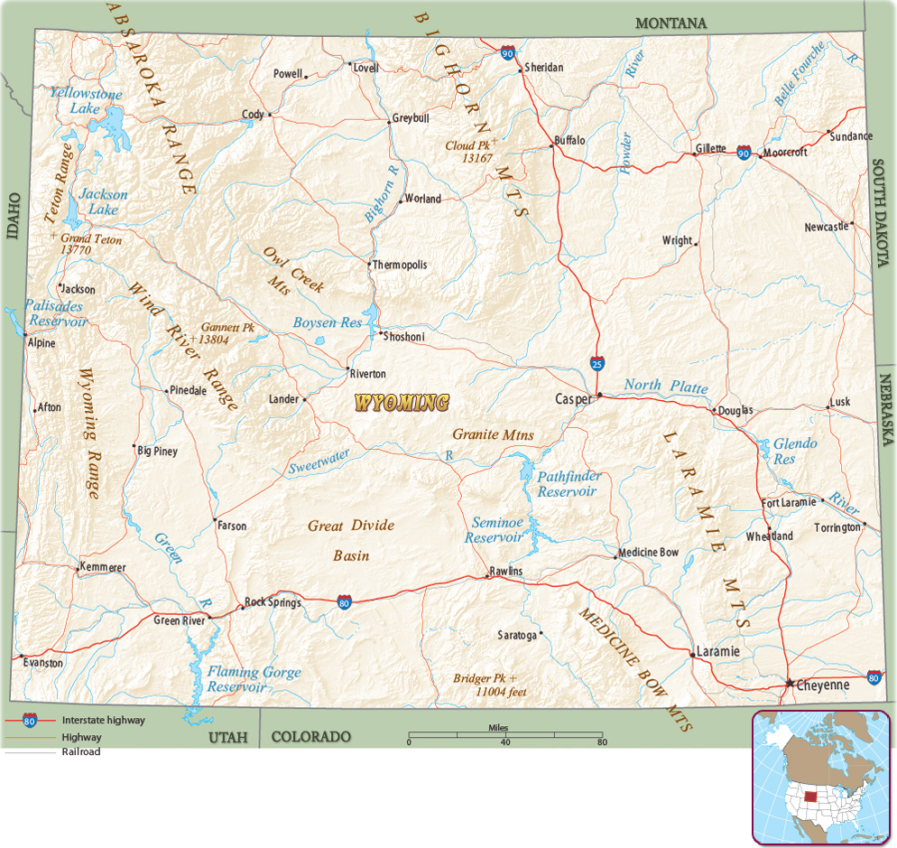
Map of Wyoming
The state of Wyoming is in the western United States. It is bordered by the state of Montana on the north, South Dakota and Nebraska on the east, Colorado and Utah on the south, and Utah, Idaho and Montana on the west. The capital and largest city is Cheyenne.


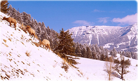
Bighorns in Yellowstone, Wyoming.
|
Copyright © Geographic Guide - Maps World. United States of America. |
Source (edited): U.S. Geological Survey.
