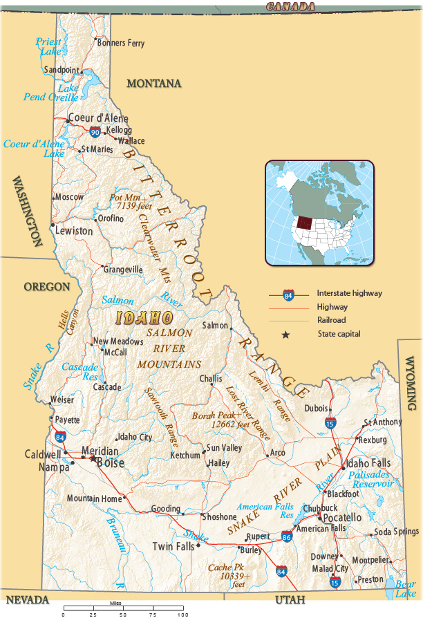
Map of Idaho
The Congress created Idaho Territory in 1863. In 1864, Boise City was incorporated. In 1890, Idaho became the 43rd state of USA. Idaho borders the states of Washington and Oregon to the west, Nevada and Utah to the south, and Montana and Wyoming to the east. The Canadian province of British Columbia is to the north.

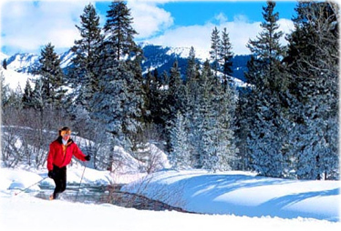
Cross country skiing, Trail Creek, in Ketchum, Idaho.

|
Copyright © Geographic Guide - Maps World. United States of America. |

Map of Idaho
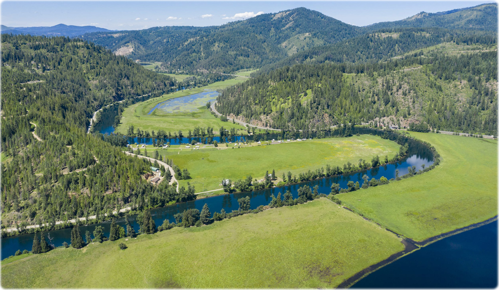
St. Joe River Scenic Byway, near St. Maries (credit: Idaho Tourism).
Source (edited): U.S. Geological Survey.
