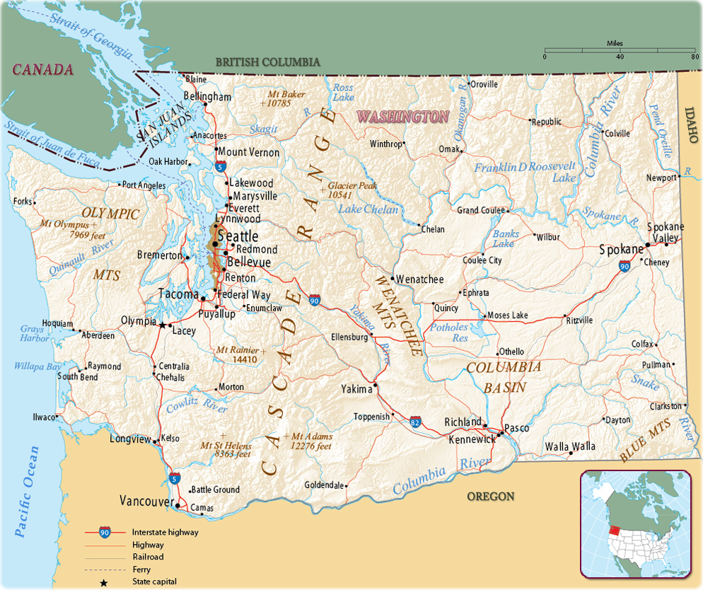
Map of Washington State
The State of Washington was admitted to the Union in 1889. The capital is Olympia and the largest city is Seattle. It is bordered, on the north, by the Canadian province of British Columbia, on the south by Oregon, on the east by Idaho, and on the west by the Pacific Ocean.


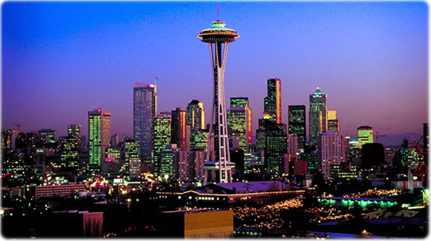
Seattle skyline and the Space Needle.
|
Copyright © Geographic Guide - Maps World. United States of America. |
Source (edited): U.S. Geological Survey.
