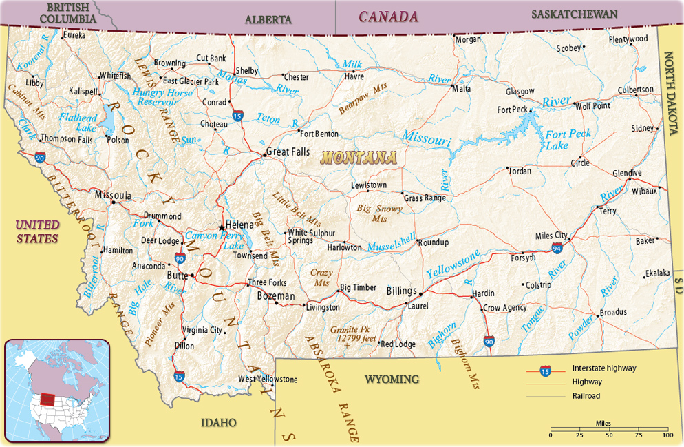
Map of Montana
Montana is the northernmost of the Rocky Mountain states. Its name comes from the Spanish word meaning mountainous and was first used when the area was designated a territory in 1864. Montana entered the Union in 1889. It is bordered on the north by the Canadian provinces of British Columbia, Alberta and Saskatchewan. On the U.S. side, it is bordered, on the east, by North Dakota and South Dakota, on the south, by Wyoming and Idaho and, on the west, by Idaho. The capital is Helena and Billings is the largest city.


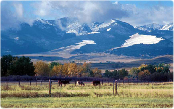
Landscape of the Rocky Mountains in Montana.
|
Copyright © Geographic Guide - Maps World. United States of America. |
Source (edited): U.S. Geological Survey.
