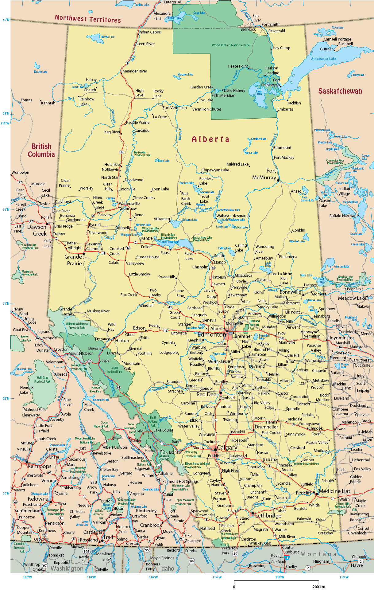
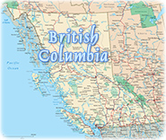
Map of the Province of Alberta - Canada
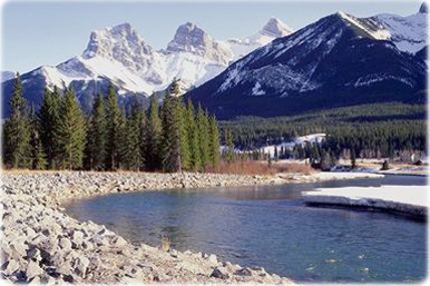
Landscape in Bow Valley, Alberta.
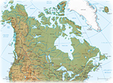
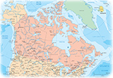
◄ World Maps
Copyright © Geographic Guide - Maps World, Maps of Canada.