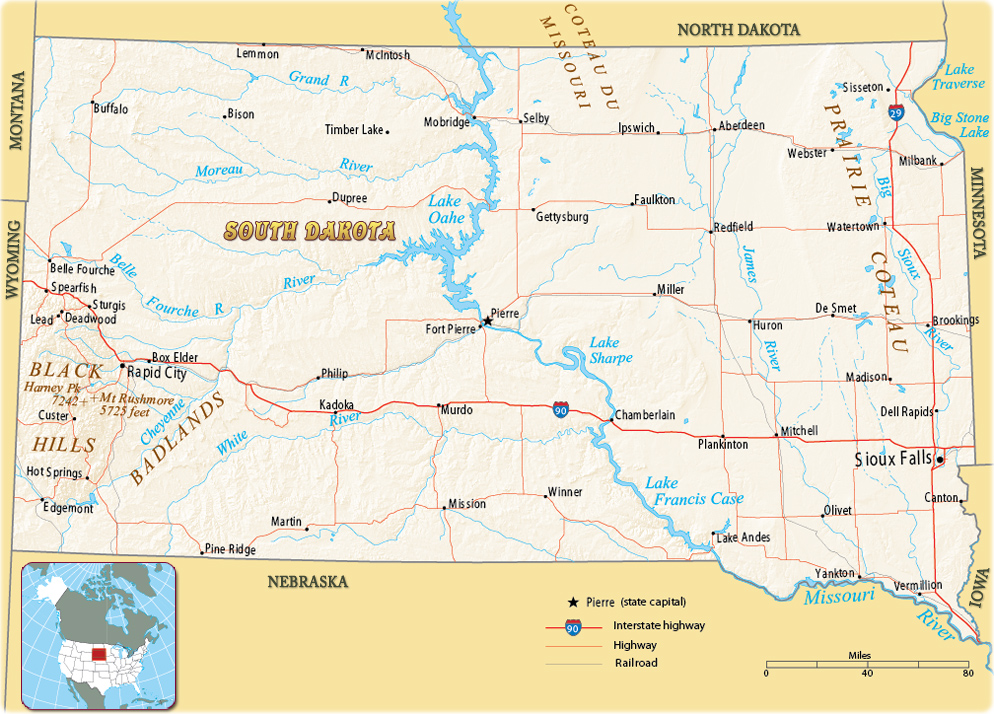
Map of South Dakota
South Dakota is a U.S. state in the north-central part of the country. It entered the Union in 1889. The east is flat and the western part lies on the Great Plains. The state is divided by the Missouri River. The capital is Pierre and the largest city is Sioux Falls. South Dakota is bordered by the states of North Dakota, to the north, Minnesota, to the east, Iowa, to the southeast, Nebraska, to the south, Wyoming, to the west, and Montana to the northwest.


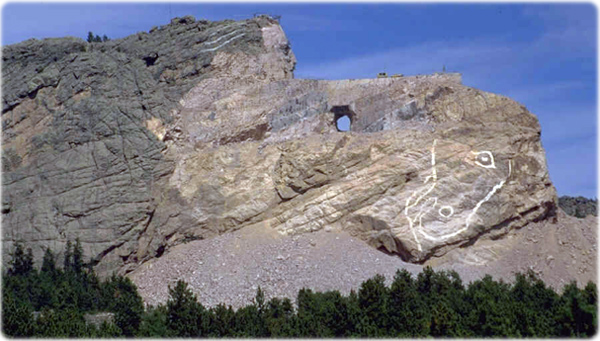
Crazy Horse Memorial in the Black Hills, in Custer County, South Dakota.
|
Copyright © Geographic Guide - Maps World. United States of America. |
Source (edited): U.S. Geological Survey.
