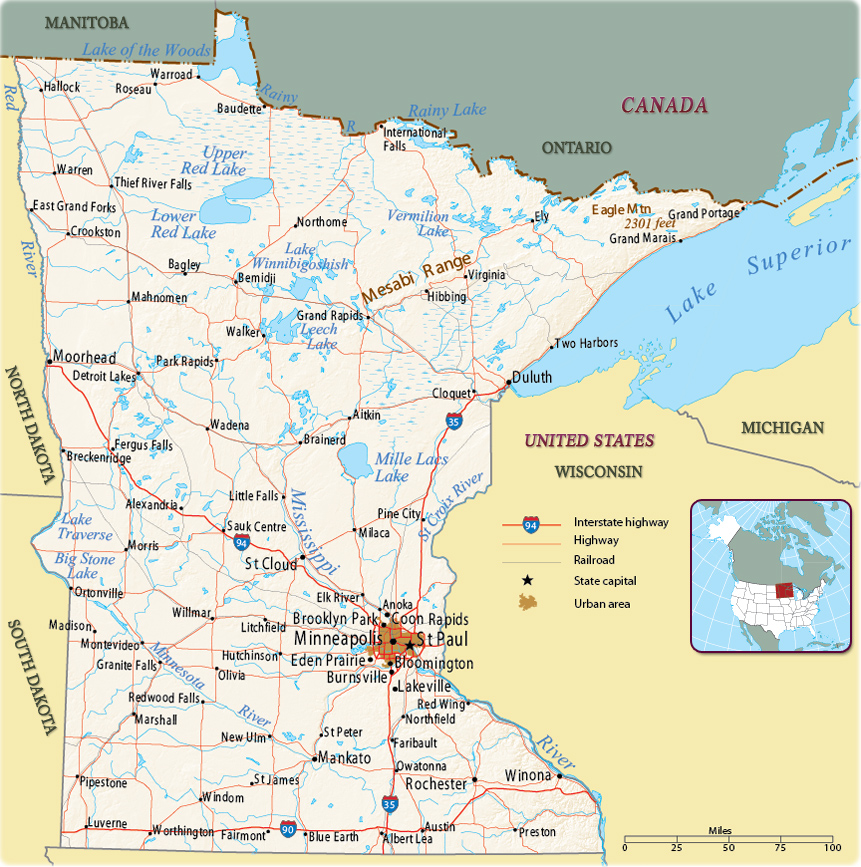
Map of Minnesota
The State of Minnesota is bordered by the Canadian provinces of Ontario and Manitoba on the north. It is bordered on the west by North Dakota and South Dakota, on the south by Iowa, and on the east by Wisconsin and Lake Superior. Minnesota entered the Union in 1858. The state capital is St. Paul and the largest city is Minneapolis.


The central business district and the Convention Center of Minneapolis.

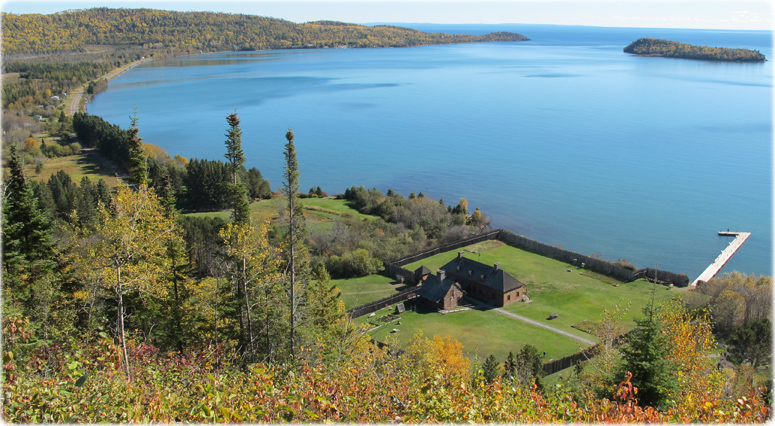
The historic depot and dock on Grand Portage Bay (Lake Superior). Hat Point and Pete's Island in the distance. Isle Royale is visible on the horizon.
|
Copyright © Geographic Guide - Maps World. United States of America. |
Source (edited): U.S. Geological Survey.

Photo NPS