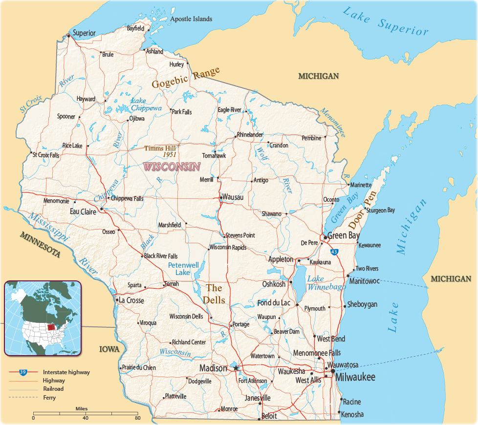
Map of Wisconsin
The State of Wisconsin is in the north central United States. It entered the Union in 1848. Wisconsin is bordered by the Upper Peninsula of Michigan on the northeast, Lake Michigan on the east, Lake Superior on the north, Illinois on the south, and Iowa and Minnesota on the west. The capital is Madison and the largest city is Milwaukee.

Milwaukee, the largest city of Wisconsin (photo Media Hub).

|
Copyright © Geographic Guide - Maps World. United States of America. |
Source (edited): U.S. Geological Survey.
