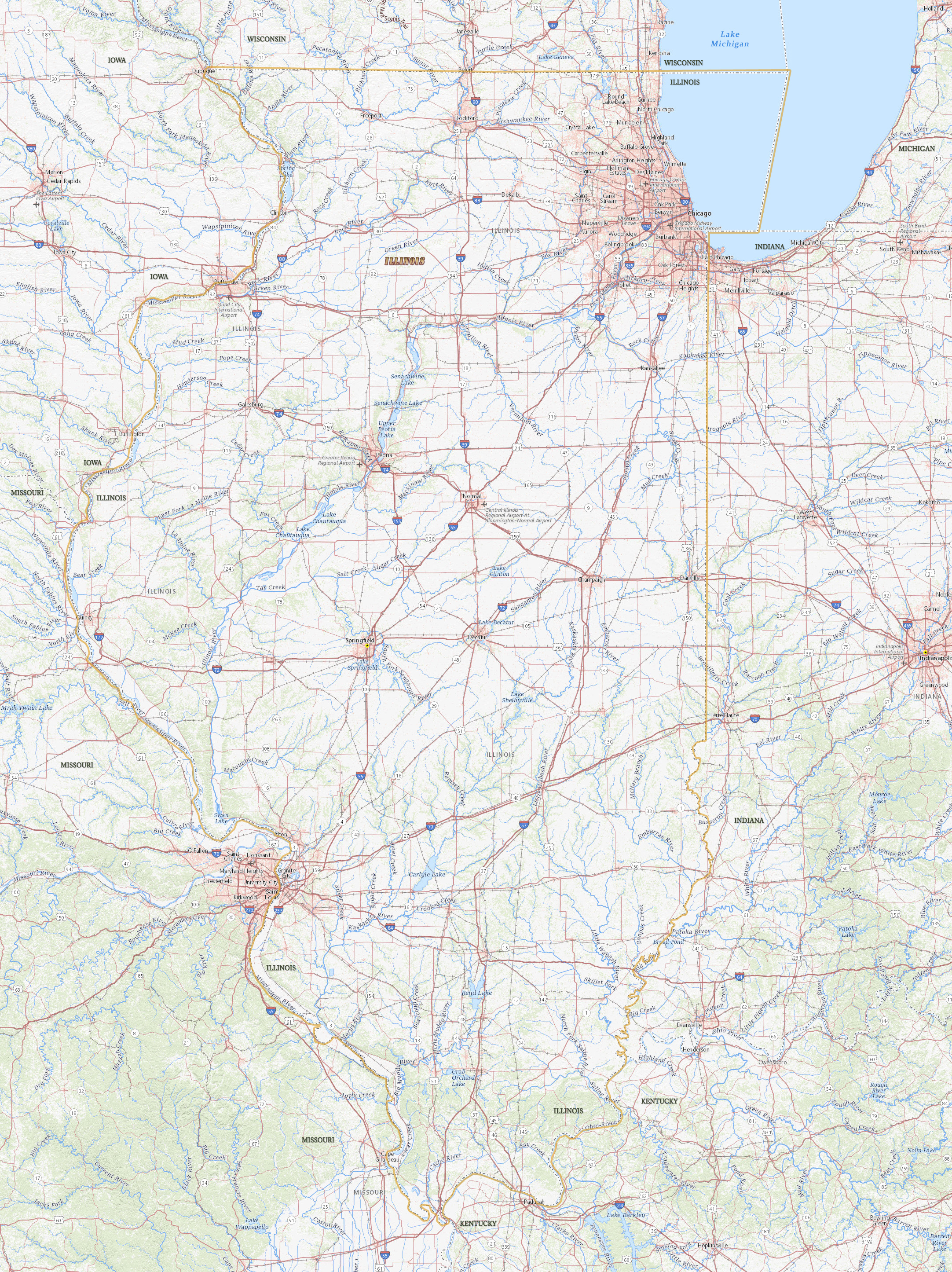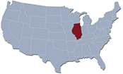
Map of Illinois

Buckingham Fountain at night, in Chicago, the largest city of Illinois.
Illinois is a state in the north central United States, flanked by the Mississippi River, on the west, and by a small part of Lake Michigan on the northeast. It entered the Union in 1818. The capital is Springfield and the largest city is Chicago. Illinois has borders with the states of Iowa, Kentucky, Missouri, Michigan, Indiana and Wisconsin.
|
Copyright © Geographic Guide - Maps World. United States of America. |

Source (edited): USGS National Map.
