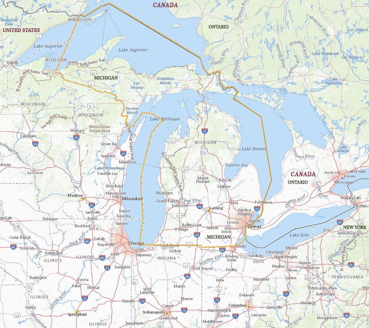
Map of Michigan
Michigan is one of the states in the north of the United States of America. The capital is Lancing and the largest city is Detroit. Michigan is bordered by the states of Ohio, Wisconsin and Indiana, and by the Canadian province of Ontario. The state has more than 11,000 lakes and about 5,300 km of coastline on four of the Great Lakes: Michigan, Erie, Huron and Superior.

|
Copyright © Geographic Guide - Maps World. United States of America. |


Detroit skyline.

Source (edited): USGS National Map.