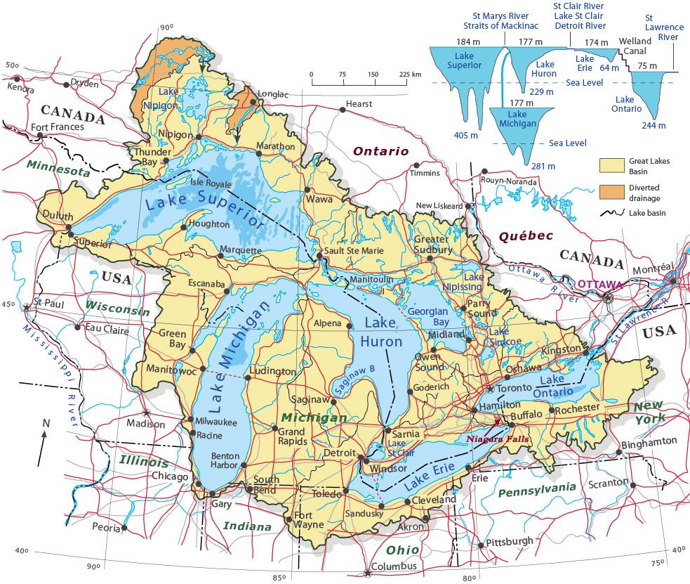
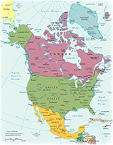
Great Lakes Basin - North America
Great Lakes of North America (Canada and United States) is a chain of five deep freshwater lakes comprising: Lake Superior, Lake Michigan, Lake Huron, Lake Erie and Lake Ontario. The combined area of the Great Lakes, about 244,106 square kilometers, represents the largest surface of fresh water in the world.
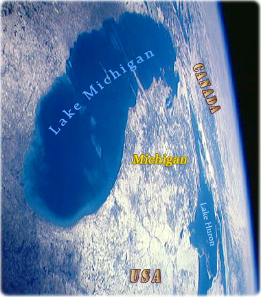
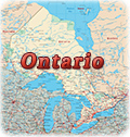
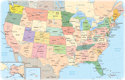
The lakes connect to the Atlantic Ocean via the Saint Lawrence River, and to the Mississippi River basin through the Illinois Waterway. Lakes Michigan and Huron form a single body of water, connected by the Straits of Mackinac. Dispersed throughout the Great Lakes are approximately 35,000 islands. The largest among them is Manitoulin Island in Lake Huron. The lakes are divided among the jurisdictions of the Canadian province of Ontario and the U.S. states of Michigan, Wisconsin, Minnesota, Illinois, Indiana, Ohio, Pennsylvania, and New York.


Chicago skyline as seen from the North Lakeshore, Lake Michigan (Courtesy of Choose Chicago).
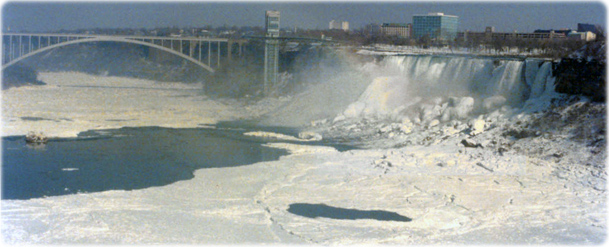
Niagara Falls during the winter. The cataract lie on the border between Canada (Ontario) and the United States (New York), on the Niagara River, that is a drainage outlet for the Lakes Superior, Michigan, Huron and Erie.


|
Copyright © Geographic Guide - Maps World, American Continent. |
Great Lakes Basin - North America
Source (edited): atlas.gc.ca © 2003. Natural Resources Canada, Her Majesty the Queen in Right of Canada.