Photos of North America
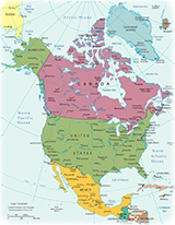
North America is one of the four parts of America (the others are Central America, Antilles and South America). It includes Canada, United States, Mexico, Greenland and the French overseas department of Saint-Pierre and Miquelon. It is a picturesque region in all seasons. Beautiful landscapes with lakes, mountains, beaches and forests.
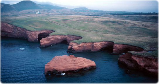
Cap-aux-Meules, Îles-de-la-Madeleine, Canada.
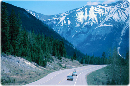
Road in the Kootenay National Park, British Columbia, Canada. Kootenay is a park in the Rockies, established in 1920. It has great views, from icy mountain rivers to steamy hot springs.
|
Copyright © Geographic Guide - Travel the World, American Continent. |
Cathedral Rock in Sedona, Arizona.
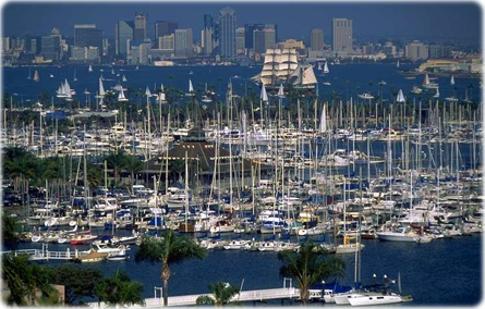
Marina in Shelter Island, San Diego, California.
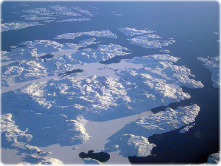
Aerial view of Greenland coast.
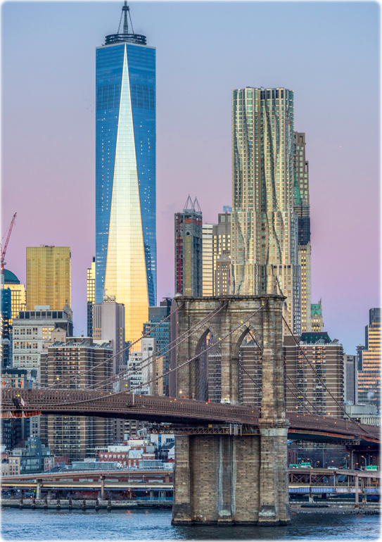
Brooklyn Bridge with Manhattan in the background (credit: Julienne Schaer / NYC & Company).

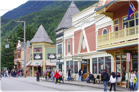
People walking in downtown Skagway, Alaska (credit: State of Alaska / Reinhard Pantke).
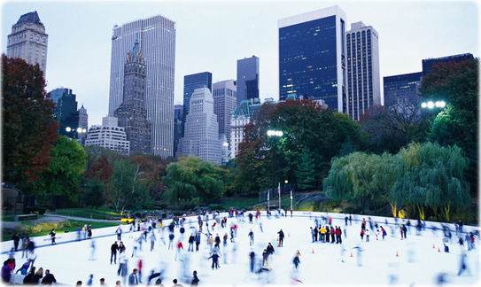
Ice skating rink in Central park, New York City.
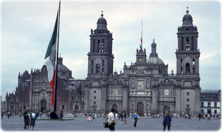
Metropolitan Cathedral of the Assumption in Mexico City.
Photos of North America
