Physical Map of Greenland
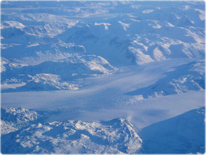
Glaciers in the fjords of Greenland, as seen from the air.

Greenland is the second largest island in the world (after Australia), located between the Arctic Ocean and the Atlantic Ocean.
Agreement between the Government of the Kingdom of Denmark and the Government of Canada relating to the Delimitation of the Continental Shelf between Greenland and Canada, signed December 17, 1973 (entry in to force: March 13, 1974).
Territory of Denmark (2008)
|
Copyright © Geographic Guide - Maps World. American Continent. |


◄ Arctic
Physical Map of Greenland