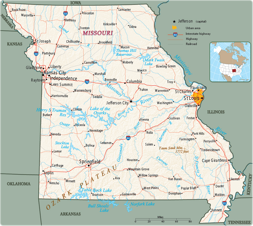
Map of Missouri
Saint Louis
Missouri is a state in the central United States. It is bordered on the north by Iowa, on the west by Nebraska, Kansas and Oklahoma, on the south by Arkansas, and on the east by the Mississippi River, which separates it from Tennessee, Kentucky and Illinois. Saint Louis (largest metropolitan area) lies near the convergence of the Missouri and the Mississippi rivers. The capital is Jefferson City and Kansas City is the largest city.


|
Copyright © Geographic Guide - Maps World. United States of America. |
Source (edited): U.S. Geological Survey.
