Map of Oklahoma
Oklahoma is a state in the south central United States. It is bordered by Colorado and Kansas on the north and Missouri and Arkansas on the east. The state of Texas is to the south and west. New Mexico also lies to the west. Oklahoma was admitted to the Union in 1907. Oklahoma City is the capital.

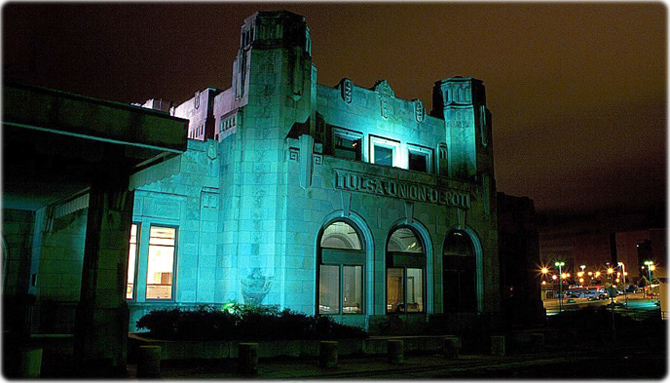
The historic Tulsa Union Depot, built in 1931. It was the central railway station for Tulsa, in Oklahoma. It was reopened in 1980 as a museum.

|
Copyright © Geographic Guide - Maps World. United States of America. |
Source (edited): U.S. Geological Survey.
