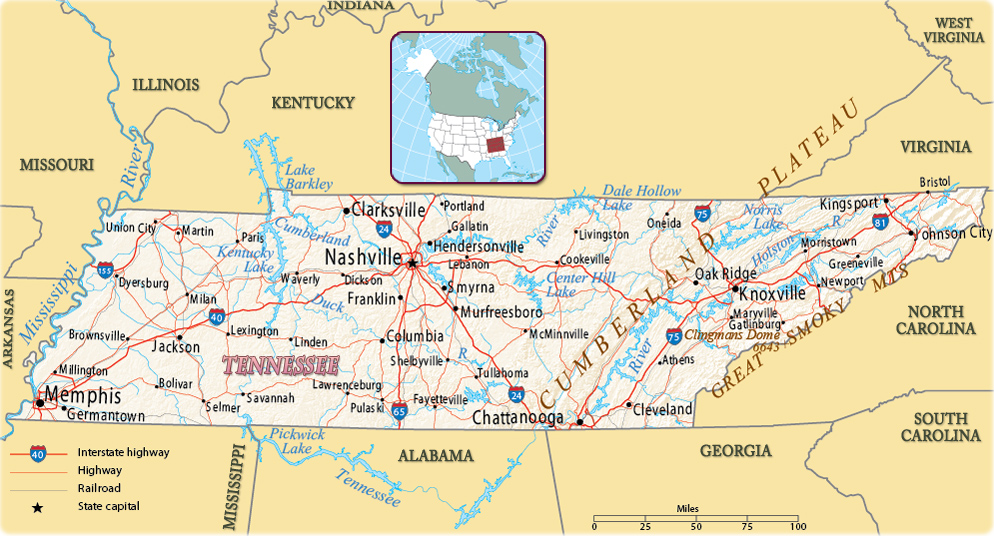
Map of Tennessee
Tennessee is a state in the East South Central region of the United States of America. It entered the Union in 1796. Nashville is the capital and largest metropolitan area. Memphis is the largest city. Tennessee is bordered by Kentucky to the north, Virginia to the northeast, North Carolina to the east, Georgia, Alabama, and Mississippi to the south, Arkansas to the west, and Missouri to the northwest.


Colors of autumn in a lake in the Smokey Mountains, Tennessee.
|
Copyright © Geographic Guide - Maps World, American Continent. |
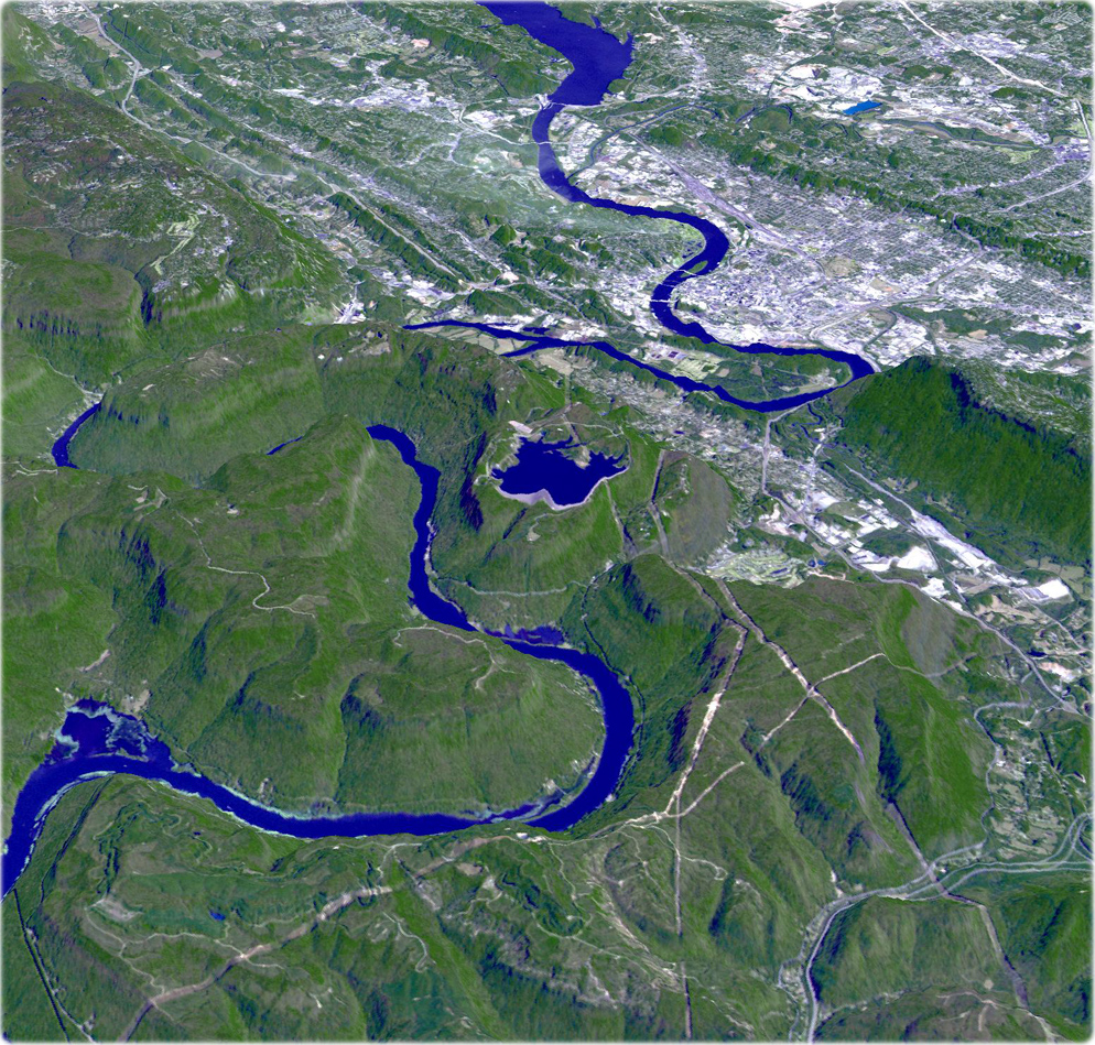
Tennessee River, Chattanooga, state of Tennessee. Image acquired October 17, 2010. In the fall of 1863, Confederate General Braxton Bragg's army occupied the mountains that ring the vital railroad center of Chattanooga, on the Tennessee River. Union General Ulysses Grant, brought in to save the situation, steadily built up offensive strength, and on November 23- 25 burst the blockade. Union forces pushed Confederate troops away from Chattanooga. The victory set the stage for General Sherman's Atlanta Campaign.

Source (edited): U.S. Geological Survey.
