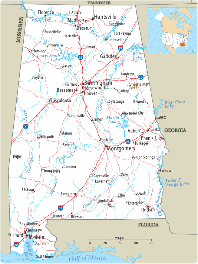
Map of Alabama
The United States Congress created the Alabama Territory on March 3, 1817. Today the State of Alabama has 67 counties. It is bordered by Mississippi to the west, Georgia to the east, Florida and the Gulf of Mexico to the south, and Tennessee to the north.


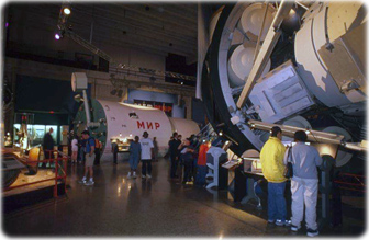
Museum at the US Space Rocket Center, in Huntsville, Alabama.
|
Copyright © Geographic Guide - Maps World. United States of America. |
Source (edited): U.S. Geological Survey.
