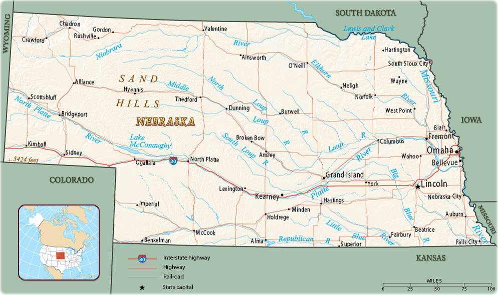
Map of Nebraska
Nebraska is a U.S. state in the West North Central region. It is bordered by South Dakota on the north, Kansas on the south, the Missouri River and the states of Iowa and Missouri on the east, and Wyoming and Colorado on the west. It entered the Union in 1867. The state capital is Lincoln and Omaha is the largest city.

Wagon in Mitchell Pass, in the Scotts Bluff National Monument (The Oregon Trail), Nebraska.

|
Copyright © Geographic Guide - Maps World. United States of America. |
Source (edited): U.S. Geological Survey.
