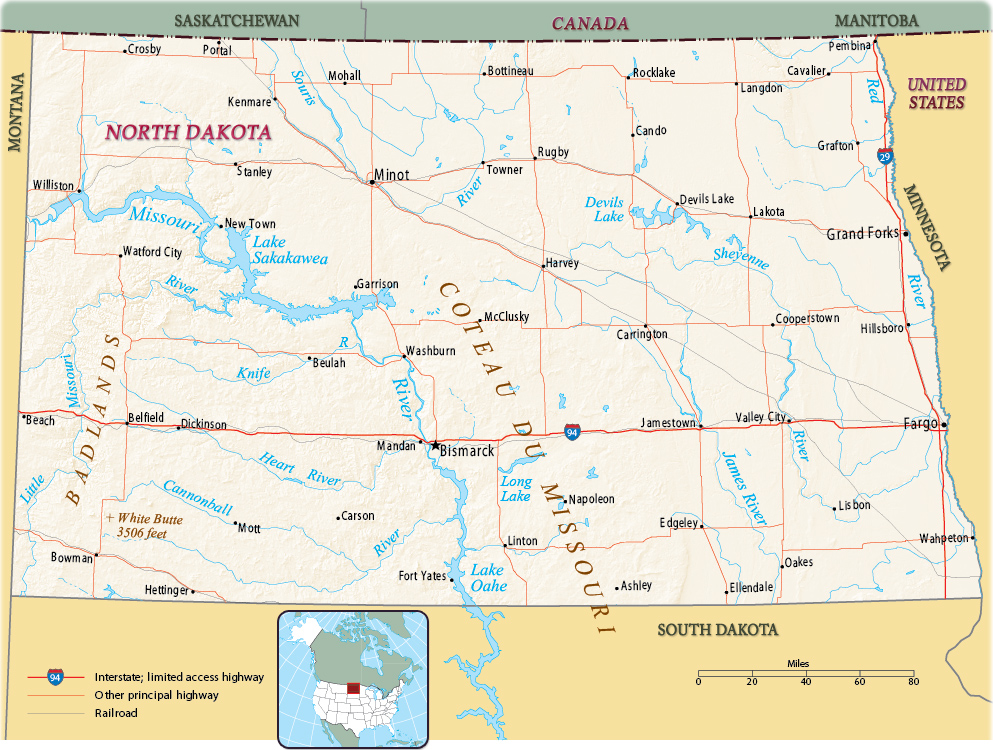
Map of North Dakota
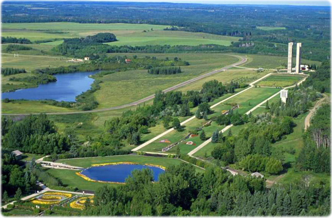
The International Peace Garden at the border between North Dakota and Canada.
North Dakota is a state in the West North Central United States. It is bordered by Minnesota on the east, South Dakota on the south and Montana on the west. Canada is to the north. The capital is Bismarck and Fargo is the largest city.


|
Copyright © Geographic Guide - Maps World. United States of America. |
Source (edited): U.S. Geological Survey.
