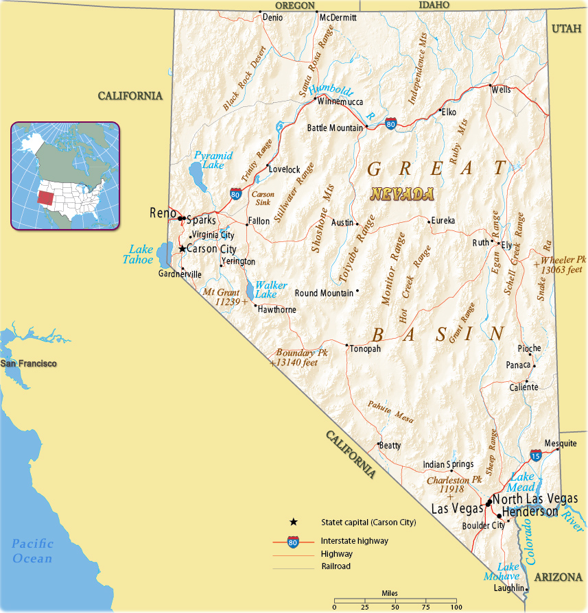
Map of Nevada
Nevada is one of the Rocky Mountain states. Its name comes from Sierra Nevada. The State entered the Union in 1864. The capital is Carson City and Las Vegas is the largest city. Nevada is bordered by the state of Oregon to the northwest, California to the west, Arizona to the southeast, Idaho to the northeast and Utah to the east.

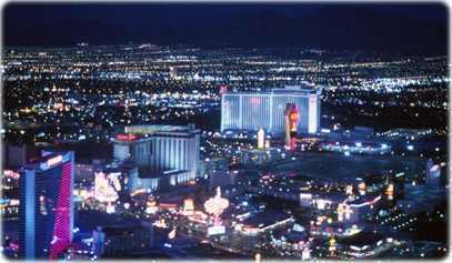
Las Vegas at night, the State's largest city.

|
Copyright © Geographic Guide - Maps World. United States of America. |
Source (edited): U.S. Geological Survey.
