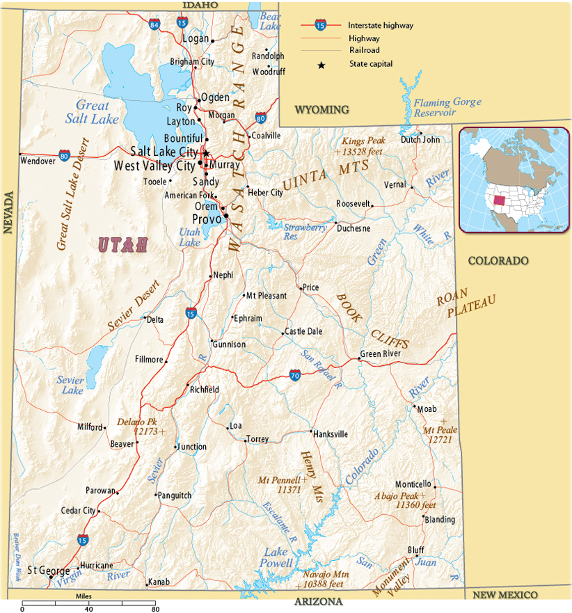
Map of Utah
Utah is a state in the western United States. The capital and largest city is Salt Lake City. The Colorado River flows across southeastern Utah. It is bordered by the state of Colorado to the east, Wyoming to the northeast, Idaho to the north, Arizona to the south, Nevada to the west and touches a corner of New Mexico in the southeast.


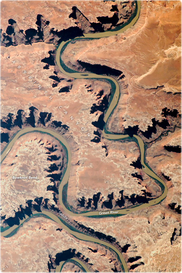
The Green River, a tributary of the Colorado River, flowing through red rock canyons in eastern Utah. The Green flows 1175 km through Wyoming, Colorado and Utah. The portion of the Green River in this image is just north of Canyonlands National Park.
Mesa Arch in the Canyonlands National Park, in Utah, beautiful landscapes .
|
Copyright © Geographic Guide - Maps World. United States of America. |

Source (edited): U.S. Geological Survey.
