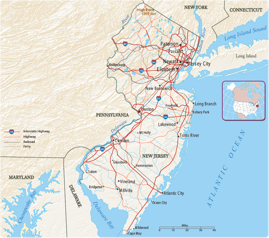
Map of The State of New Jersey
New Jersey, the Garden State, has 21 counties and 566 municipalities. It is the fourth-smallest U.S. state by area. It is bordered on the north and east by the state of New York, on the southwest by the Delaware Bay and Delaware; on the east, southeast, and south by the Atlantic Ocean; on the west by the Delaware River and Pennsylvania.

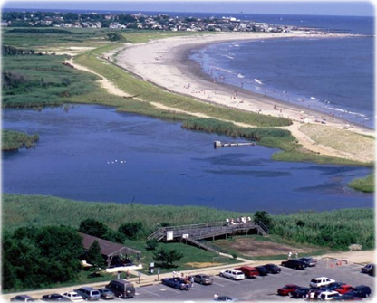
Cape May, Southern Shore Region - NJ.

|
Copyright © Geographic Guide - Maps World. United States of America. |
Source (edited): U.S. Geological Survey.
