Map of Louisiana
In 1803, Louisiana had become a part of the United States. The territory controlled the mouth of the Mississippi River. The State of Louisiana is bordered by Texas to the west, Arkansas to the north, Mississippi to the east, and the Gulf of Mexico to the south. The capital city is Baton Rouge. The largest city is New Orleans.


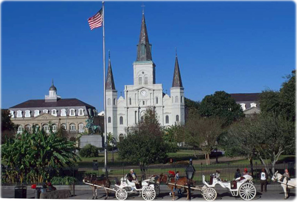
Jackson Square with the Saint Louis Cathedral in the background, New Orleans.
|
Copyright © Geographic Guide - Maps World. United States of America. |
Source (edited): U.S. Geological Survey.
