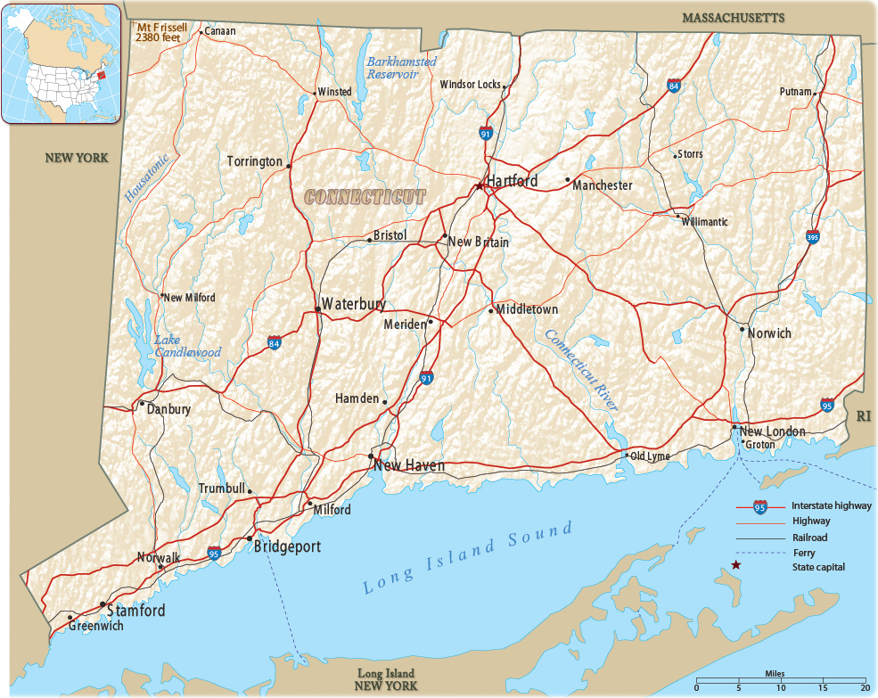
Map of Connecticut
The state of Connecticut spans 110 miles from east to west and 70 miles from north to south. It is bordered by Rhode Island to the east, Massachusetts to the north, New York to the west, and Long Island Sound to the south. The capital is Hartford and the biggest city is Bridgeport.

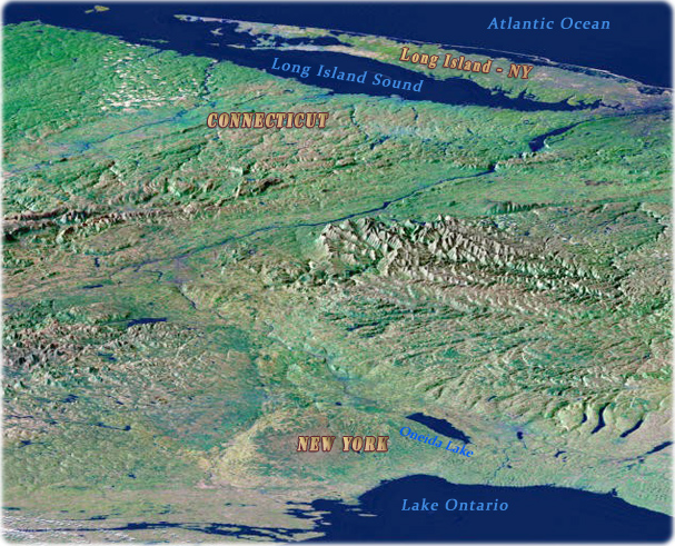
This Perspective view shows the varied topography of eastern New York State and parts of Massachusetts, Connecticut, Pennsylvania, New Jersey and Rhode Island (digital image NASA).

|
Copyright © Geographic Guide - Maps World. United States of America. |
Source (edited): U.S. Geological Survey.
