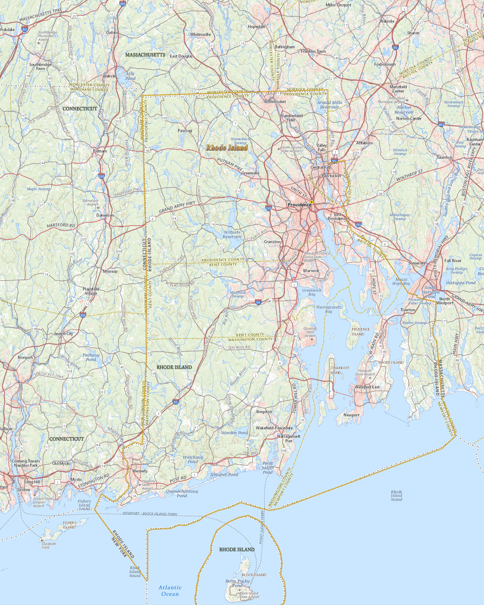
Map of Rhode Island
Rhode Island, the smallest state in the U.S., was one of the 13 original colonies to declare its independence. The capital and largest city is Providence. Rhode Island is bordered by the states of Connecticut, Massachusetts and has a small maritime border with the state of New York.


|
Copyright © Geographic Guide - Maps World. United States of America. |
Brown University, in Providence, Rhode Island.

Source (edited): USGS National Map.
