World Maps


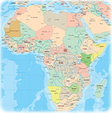
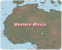
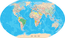
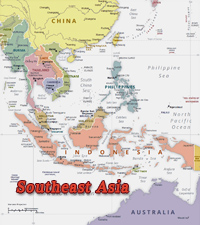
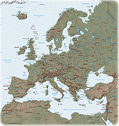
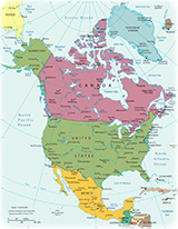
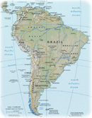
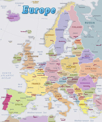
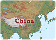
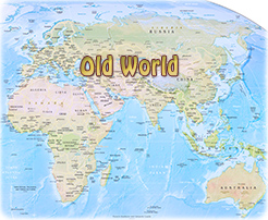
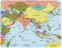
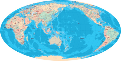
The landmasses in the world can be grouped into six continents and oceanic islands in the Atlantic and Indian oceans. The six continents are: Africa, Asia, Europe, America, Oceania and Antarctica.

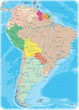
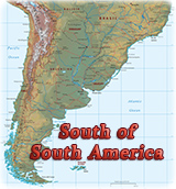
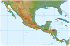
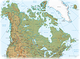
America can be divided into four parts: North America, Central America, South America and Antilles.

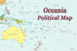
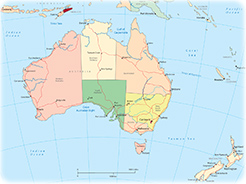
Oceania consists of Australia, the largest island in the world, and most of the islands in the Pacific Ocean, including New Zealand, Polynesia, Melanesia, and Micronesia.

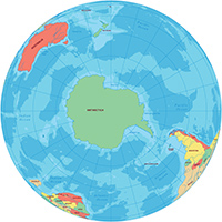
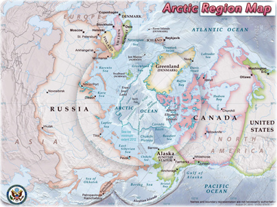
There are also five oceans: Atlantic, Pacific, Indian, Arctic and Southern Ocean.


North South America


Greenland Map


Maps USA


Maps Canada


Africa political map


Western Africa


South America political map


Winkel Tripel


Patagonia South America


Physical map


America Waldseemüller


Platte Carre projection


Oceania political map


Map US


World maps


Salvador Brazil
Map Southeast Asia


Antarctica globe


Australia political map
Arctic Region Map


European Continent


Maps of Africa


North America political map


Map South America


Globe Europe


Physical map


Antilles map


NYC


Globes Planet


Europe map


San Francisco CA


Chicago


China


Continents


Map old world


Southern Asia


Map Canada


Mollweide


Photos North America


Copyright © Geographic Guide - Maps World. Countries and Continents of the Planet Earth.


Europe Atlas


Netherlands


World


Central America


Asia globe


america maps


Oceania Maps


Asia Maps


Images World


Find out what are the best sites for instant crypto loans for you at coinlive.io where you can find full reviews of all platforms that can offer cryptocurrency loans.