
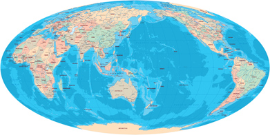
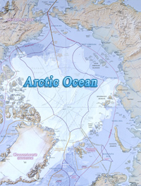
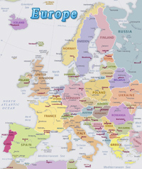
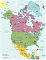
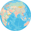
Maps of the Continents
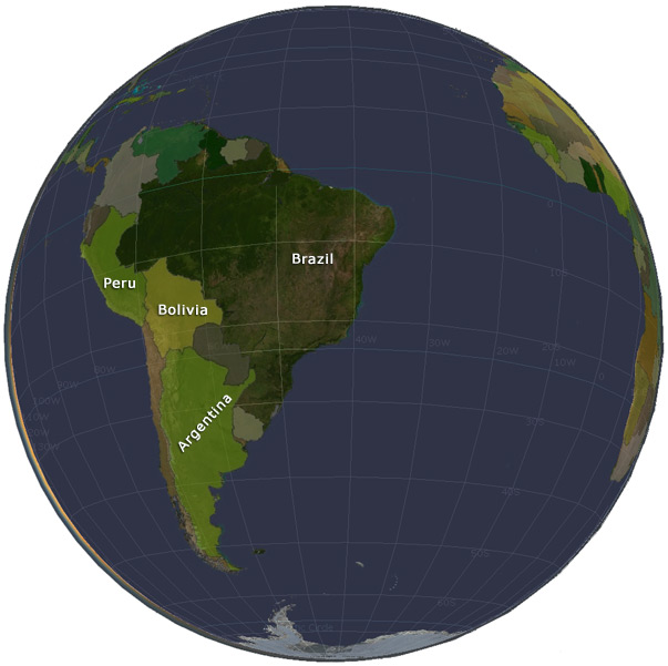
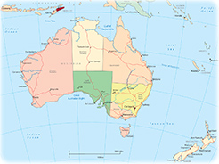
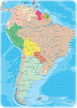
The world traditionally has six continents: Africa, Asia, Europe, America, Oceania and Antarctica. America is divided into four parts: North America, Central America, South America and Antilles. Oceania is a geographical division of Planet Earth, which consists of Australia and most of the islands in the Pacific Ocean, including New Zealand, Polynesia, Melanesia, and Micronesia.
Environment - large areas of the world are subject to overpopulation, industrial disasters, pollution (air, water, acid rain, toxic substances), loss of vegetation (overgrazing, deforestation, desertification), loss of biodiversity; soil degradation, soil depletion, erosion; ozone layer depletion; waste disposal; global warming becoming a greater concern.


Salvador
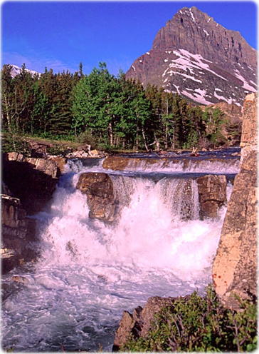
Waterfall in the Glacier National park in Montana, United States of America. It is a hiker's paradise for adventurous visitors seeking wilderness
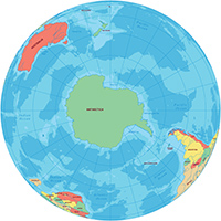
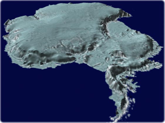
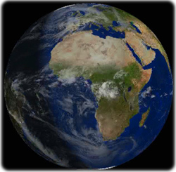
Continent of Antarctica. Graphical image made by NASA. Antarctica is the only continent without native human population, but it is the habitat of many species, including penguins and whales.
This continent is home to sveral research stations, from many countries.


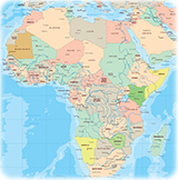
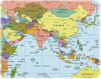
Maps of the Continents
Atlantic Ocean
Montevideo
Rio de Janeiro
Amazon
|
Copyright © Geographic Guide - Maps of World. Continents of the Planet Earth. |


Cabo Verde