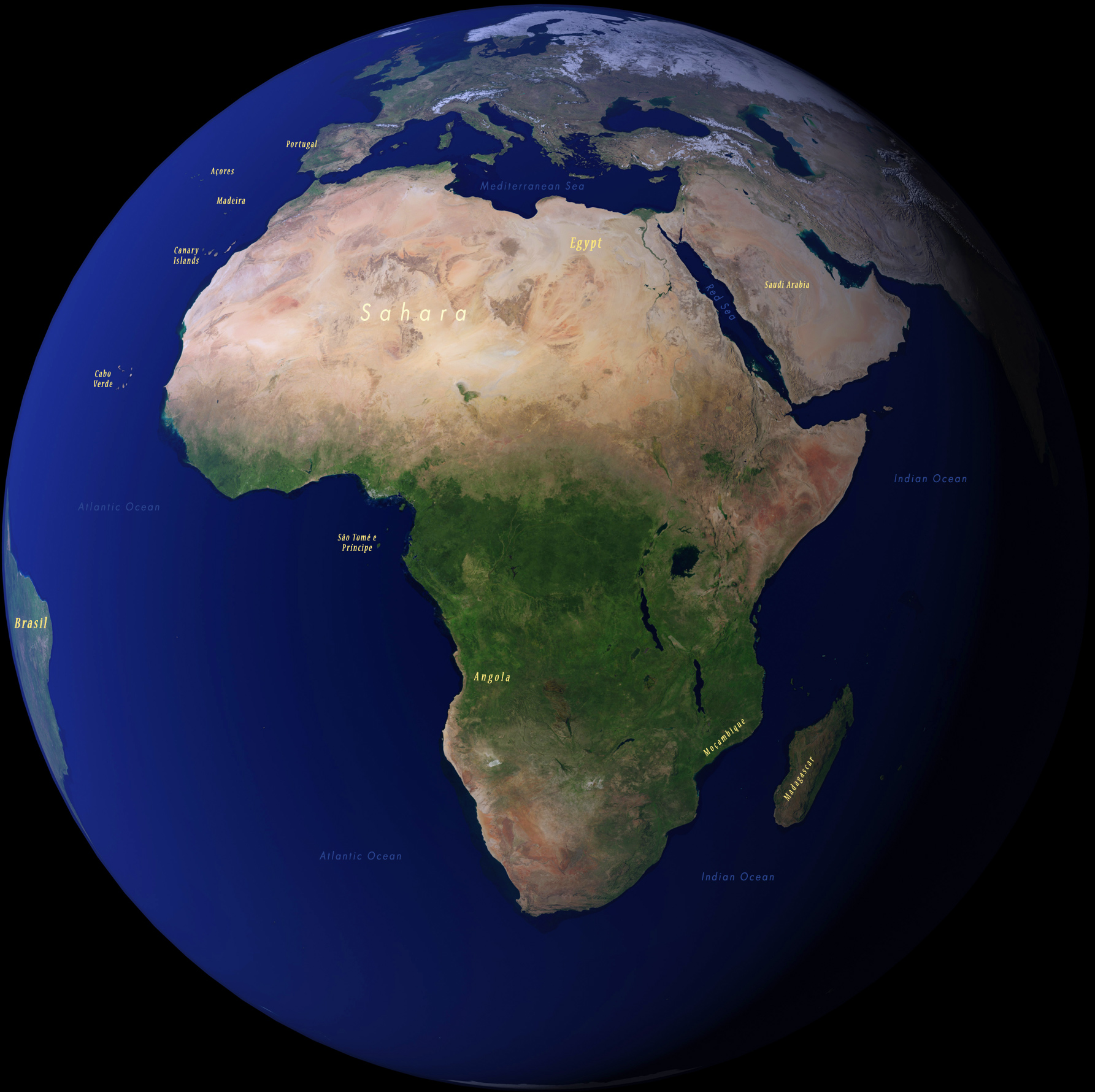
Image of the African Continent
Africa is spread across three of the major lines of latitude: the Tropic of Cancer, the Equator and the Tropic of Capricorn. The continent has a range of climate zones and biomes and can be divided into eight major physical regions: the Sahara, the Sahel, the Ethiopian Highlands, the savanna, the Swahili Coast, the rain forest, the African Great Lakes, and Southern Africa.
The Congo rainforest is one of the world’s largest rainforests. Like other tropical rainforests such as the Amazon, it is located close to the Equator, where the sun’s energy is more direct.
The African savannah, in such countries as Kenya and Tanzania, has a hot dry climate. During the dry season the grasses can shrivel up. Animals like wildebeests migrate in their search for food.
The Sahara Desert is the world’s largest hot desert, located in northern Africa. The climate is hot and dry, with temperatures recorded as high as 50°C.
Salvador
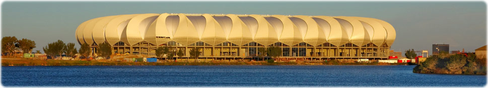
Nelson Mandela Bay Stadium in South Africa (nelsonmandelabay.gov.za).
South Africa

|
Copyright © Geographic Guide - Maps of World. African Continent. |
|