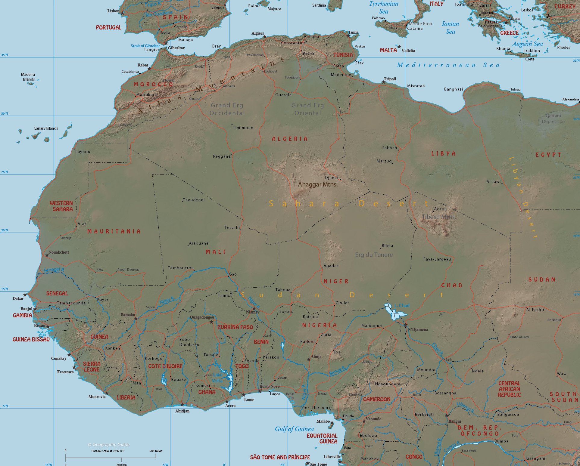
Map of
Western Africa
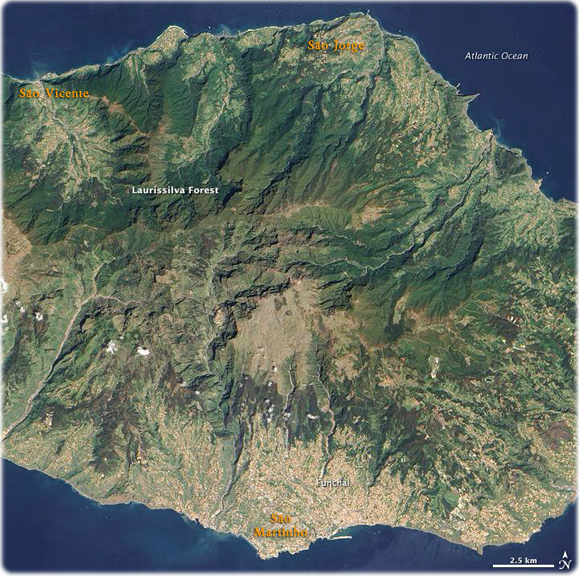
Located in the Atlantic Ocean about 600 km off the west coast of Morocco, Madeira Island (Portugal) is the top of a giant shield volcano that rises 6 km from the ocean floor to reach an altitude of 1,862 m above sea level. Madeira Island is 34 miles long and 12 miles wide. The island has deep ravines and rugged mountains, with the highest point being Ruivo Peak near the center of the island at 6106 feet. The north coast is particularly steep and very wild. The island produces wine, sugar, bananas, tropical fruits, and potatoes. Fishing, handicrafts, and tourism are other industries. Funchal, located on the southeast coast, is the main city on the island.
When Portuguese explorers arrived there in the early 15th century, they were so impressed with the thick forest covering the steep, mountainous island that they called it Ilha de Madeira (Island of Wood). The forest of Madeira is known as Laurissilva, a forest that is similar to high-altitude tropical rain forests. Laurissilva is a relic of the forest that once thrived across southern Europe and North Africa, but which disappeared as the last ice age ended and the regional climate became hotter and drier. Madeira's mild, subtropical climate and isolation preserved the laurel forest as it became extinct elsewhere. The surviving Laurissilva is both a natural reserve and a World Heritage Site. The remaining forest covers about 15,000 ha, making it the largest Laurissilva forest in the world. About 90% of the forest is believed to be old growth, primary forest, according to the United Nations. The Laurissilva includes a wide diversity of flora, including a number of rare ferns and flowering plants (NASA).


|
Copyright © Geographic Guide - Maps of World. African Continent. |
|
◄ Africa