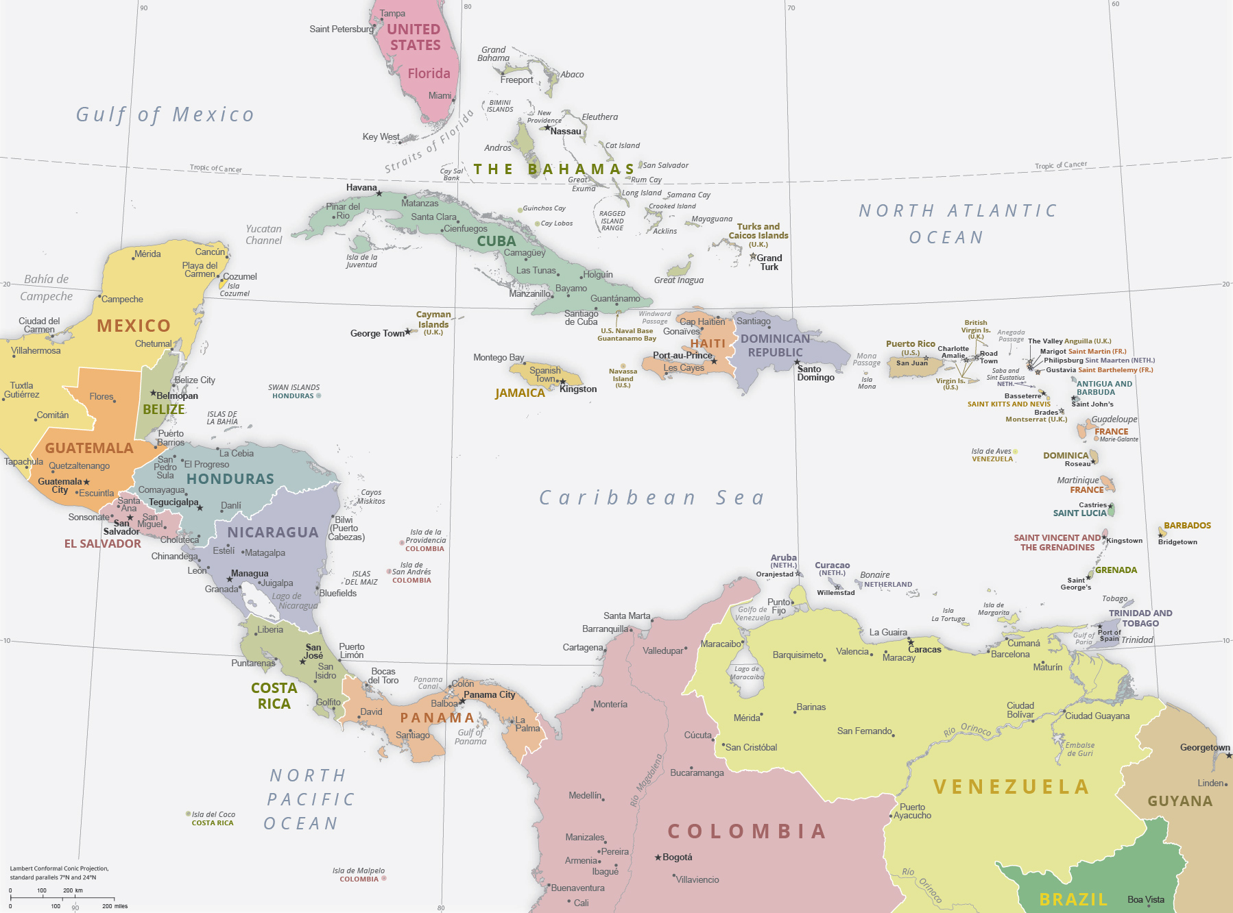
Political Map of The Antilles

The Antilles is an American archipelago, in the form of an arc, from the Bahamas and Cuba to Trinidad and Tobago. They are bordered by the Caribbean Sea, the Gulf of Mexico (to the northwest) and the Atlantic Ocean, to the north. The Antilles are formed by independent countries or territories of France, United States, United Kingdom and The Netherlands.
The Antilles are one of the four parts of American Continent, the other parts are: North America, Central America and South America.
|
Copyright © Geographic Guide - Maps of World, American Continent. |
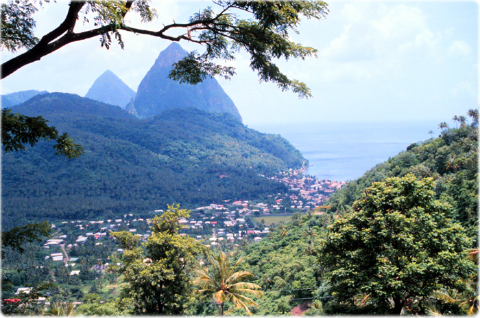
View of the Pitons, in Saint Lucia (old photo by A. R. Picciolo, NOAA).

Political Map of The Antilles
