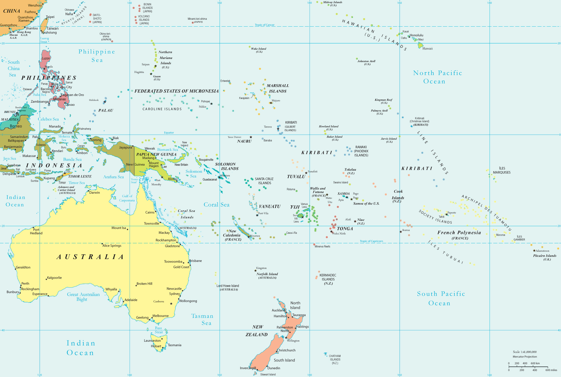
Oceania - Political Map
Oceania is a geographical division of Planet Earth comprised of most islands in the Pacific Ocean, including Australia, the biggest island in the world.
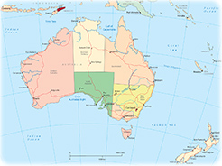
The ten largest urban agglomerations in Oceania: Melbourne (Australia) - 4,968,000, Sydney (Australia) - 4,926,000; Brisbane (Australia) - 2,406,000; Perth (Australia) - 2,042,000; Auckland (New Zealand) - 1,607,000; Adelaide (Australia) - 1,336,000; Gold Coast-Tweed Head (Australia) - 699,000; Canberra (Australia) - 457,000; Newcastle-Maitland (Australia) - 450,000; Wellington (New Zealand) - 415,000 (source: World Factbook 2024).
|
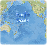
Copyright © Geographic Guide - Maps World, Pacific Ocean. |
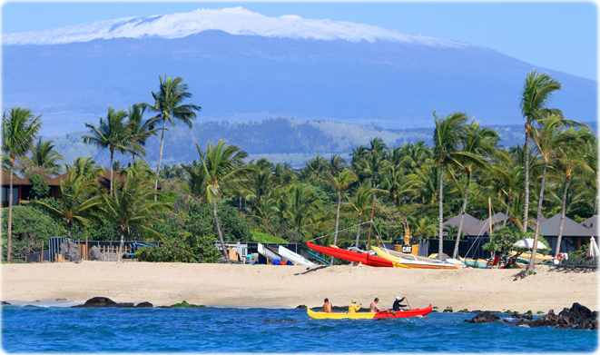
Snow topped Maunakea from the Kohala Coast, Island of Hawaii (Credit: Island of Hawaii Visitors Bureau / Kirk Lee Aeder).
|
◄ Oceania |

Oceania - Political Map