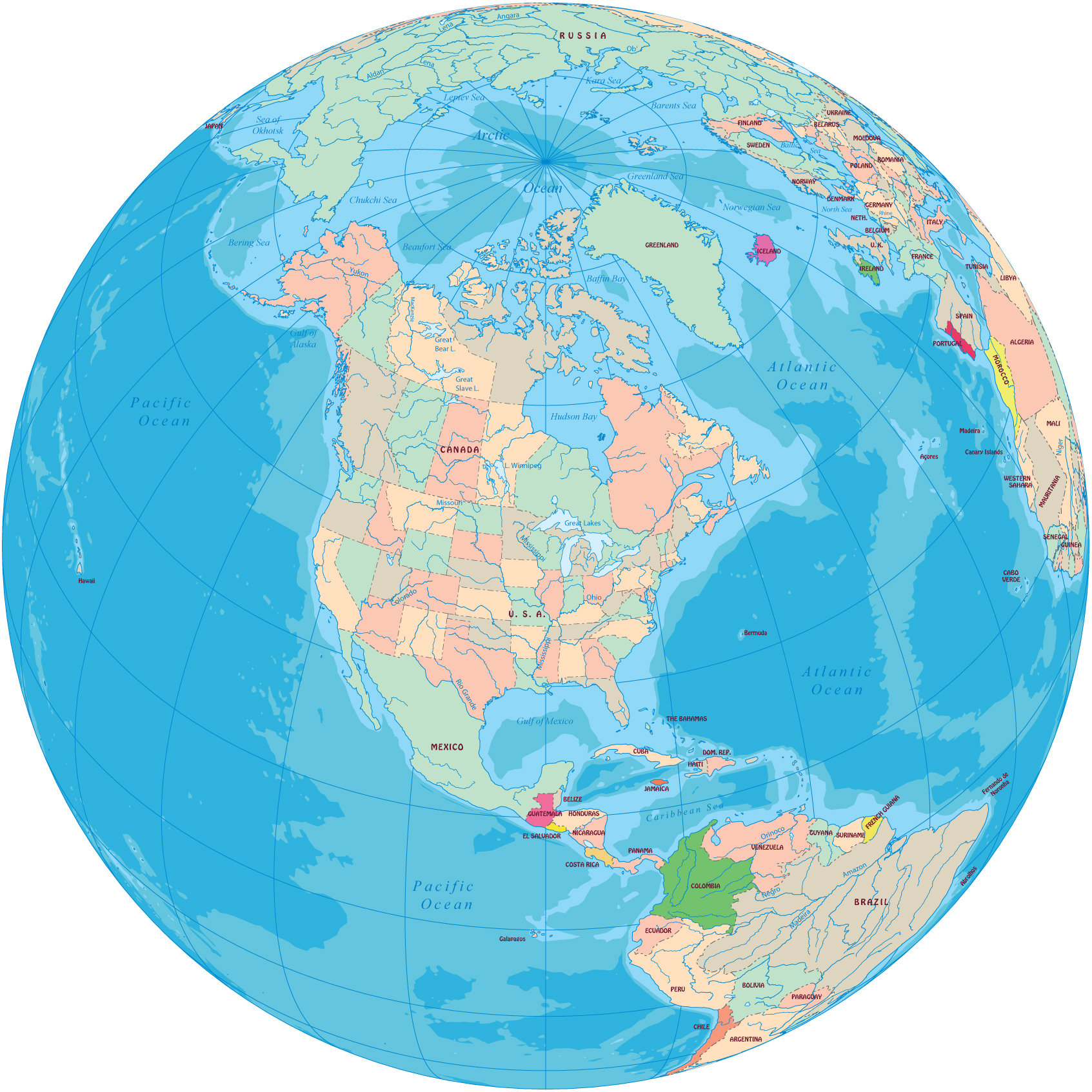
North America - Political Map and Globe
North America, stretching from the Arctic to the Caribbean Sea, is the northern part of the American Continent. The other parts are: Central America, South America and Antilles.
|
Copyright © Geographic Guide - Maps World, American Continent. |

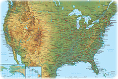
Landscapes in North America feature many natural wonders in the mountains, forests, rivers, lakes, geysers, canyons and ocean shores. Many parks preserve the environment, like Copper Canyon in the Mexican state of Chihuahua. Denali, the continent’s highest peak (6,194 m) within Denali National Park (Alaska). Yellowstone National Park, in Wyoming, Montana, and Idaho, Canada’s Bay of Fundy and many others.
Lakes abound in North America, most are products of glaciation, which has had a great effect on the continental drainage pattern.

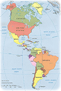

North America - Political Map and Globe