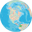
Globe - Mexico, United States and The Caribbean
|
Copyright © Geographic Guide - Maps World. American Continent. |
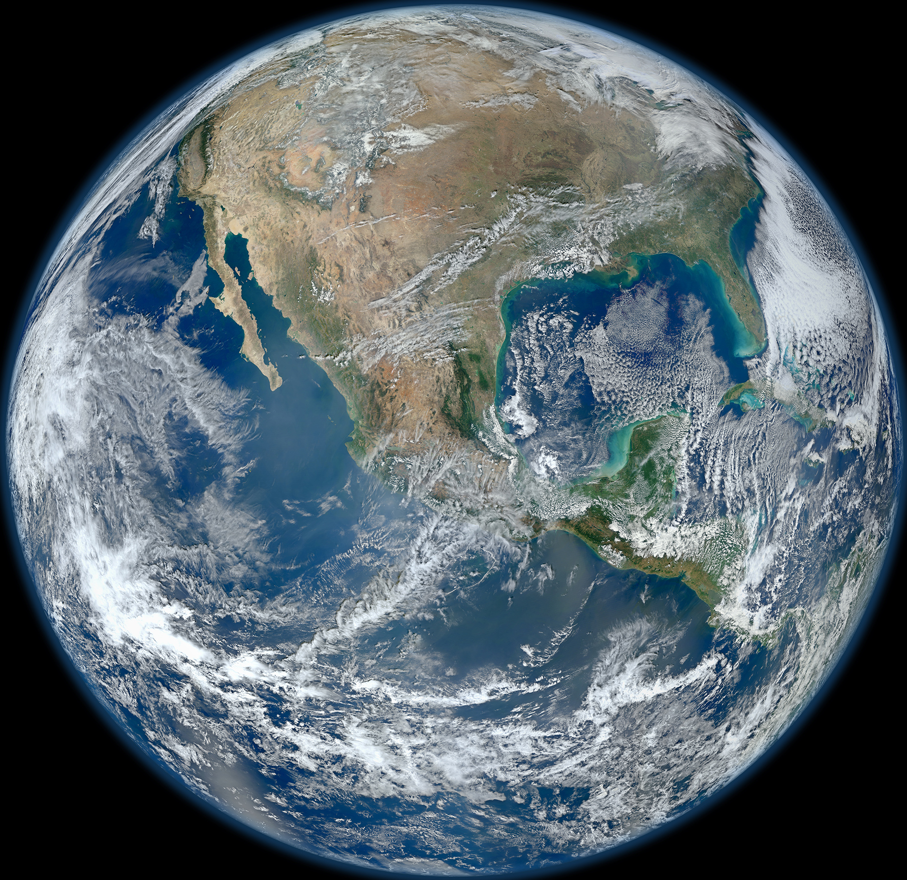
This is a 'Blue Marble' image of the Earth taken from the VIIRS instrument aboard NASA's most recently launched Earth-observing satellite - Suomi NPP (2012).
The Earth has a slight equatorial bulge, a difference between its equatorial and polar diameters, because of the centrifugal force (in fact a result of the inertia of the land mass) from the planet rotating on its axis. The equatorial diameter is 12,756 km, but the polar diameter is 12,714 km. This results in the Earth's circumference at the equator being 40,075 km, while the polar circumference is 40,008 km.