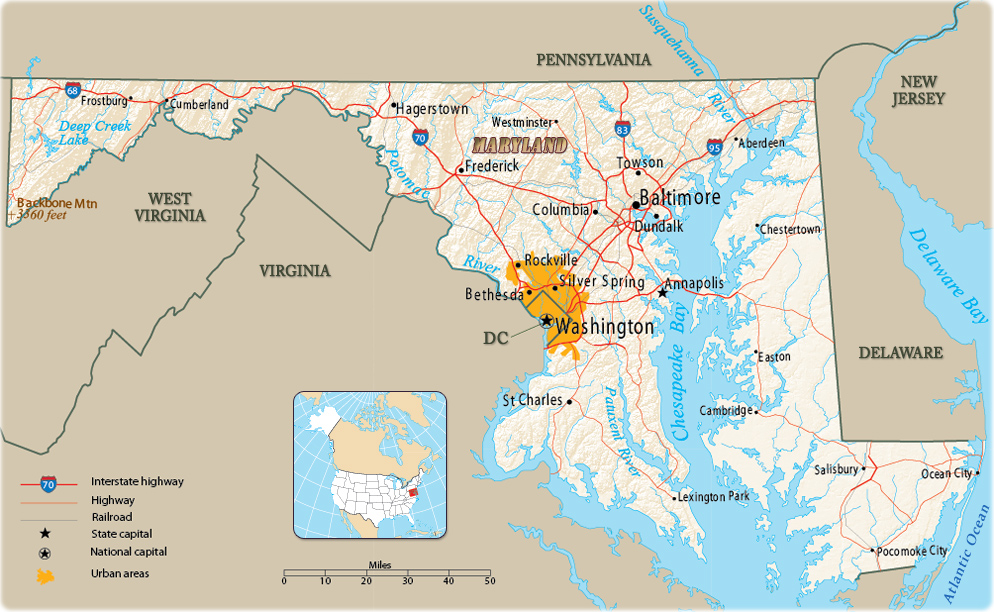
Map of Maryland
Maryland is one of the eastern states of the United States of America. It is bordered by Pennsylvania on the north, Delaware and the Atlantic Ocean on the east, Virginia on the south, and West Virginia on the southwest and west. The District of Columbia, the national capital, is an enclave along the Virginia border. The state capital is Annapolis and the largest city is Baltimore.

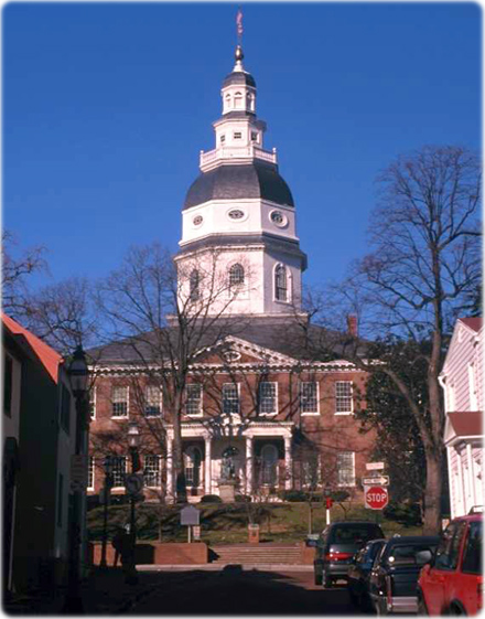
Maryland State House in Annapolis.
|
Copyright © Geographic Guide - Maps World. United States of America. |

Source (edited): U.S. Geological Survey.
