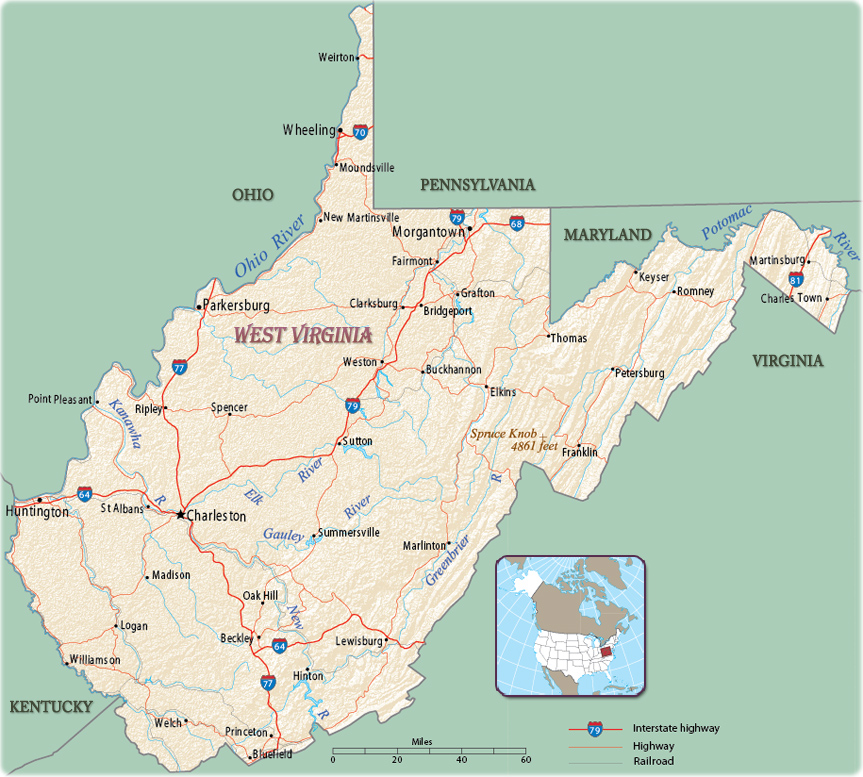
Map of West Virginia
The State of West Virginia, in the eastern USA, in the Appalachian Mountains, entered the Union in 1863. The capital and largest city is Charleston. The State is bordered by Maryland to the east and northeast, Virginia to the southeast, Kentucky to the southwest, Ohio to the northwest and Pennsylvania to the north.


Charleston Downtown in the evening and the Kanawha River (CWV Photography)
|
Copyright © Geographic Guide - Maps World. United States of America. |
Source (edited): U.S. Geological Survey.
