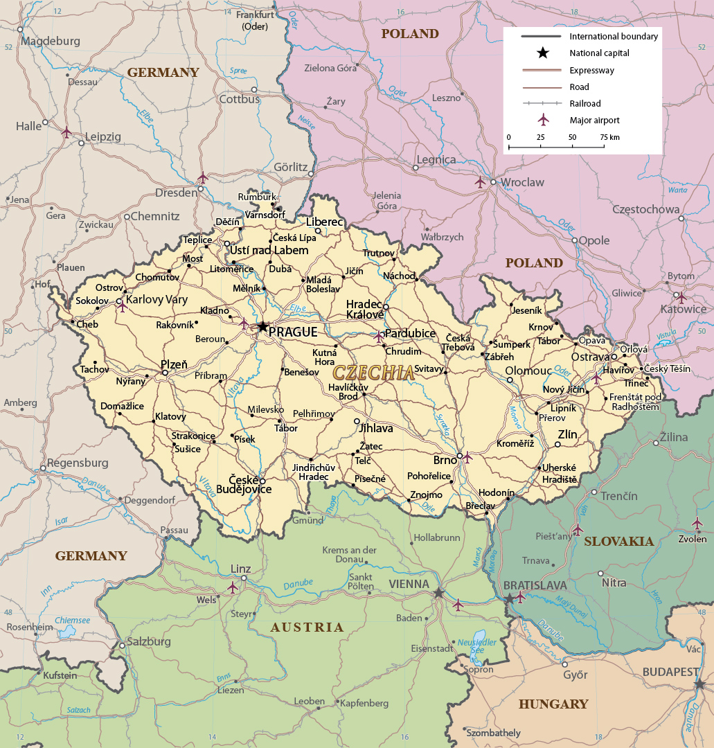
Czech Republic Map - Czechia


The total area of the Czech Republic or Czechia is 78,864 km². The maximum distance from east to west is about 490 km and the maximum distance from north to south is about 280 km. Mountain ranges bound much of the country. Border with Slovakia, Austria, Poland and Germany.
Source (modified): U.S. Central Intelligence Agency - 2017.

|
|
Copyright © Geographic Guide - Maps World, European Continent. |
Czech Republic Map - Czechia
