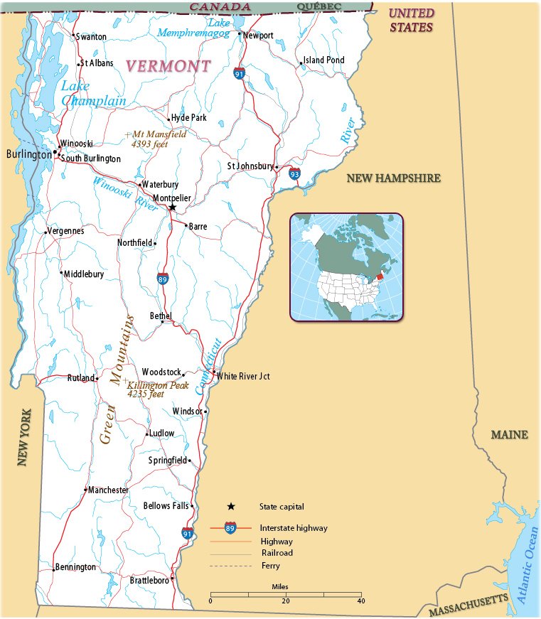
Map of Vermont
Vermont is one of the six New England states and one of the smaller states of the U.S. The capital is Montpelier and Burlington is the largest city. Vermont is bordered on the west by the state of New York, on the north by the Canadian province of Québec, on the east by New Hampshire and, on the south, by Massachusetts.


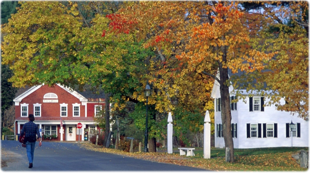
Autumn colors in Windham, Vermont.
|
Copyright © Geographic Guide - Maps World. United States of America. |
Source (edited): U.S. Geological Survey.
