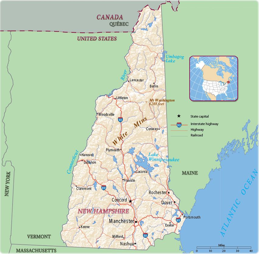
Map of New Hampshire
New Hampshire is one of the New England states. It is bordered on the north by the Canadian province of Québec, on the east by the state of Maine and the Atlantic Ocean, on the south by Massachusetts, and on the west by Vermont. The state was named in the 17th century, by John Mason, who received one of the first land grants in what was to become New Hampshire. Concord is the state capital and Manchester is the largest city.

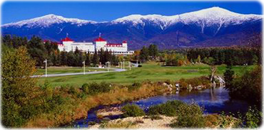
The Mount Washington Hotel, in Bretton Woods, New Hampshire, near Mount Washington.

|
Copyright © Geographic Guide - Maps World. United States of America. |
Source (edited): U.S. Geological Survey.
