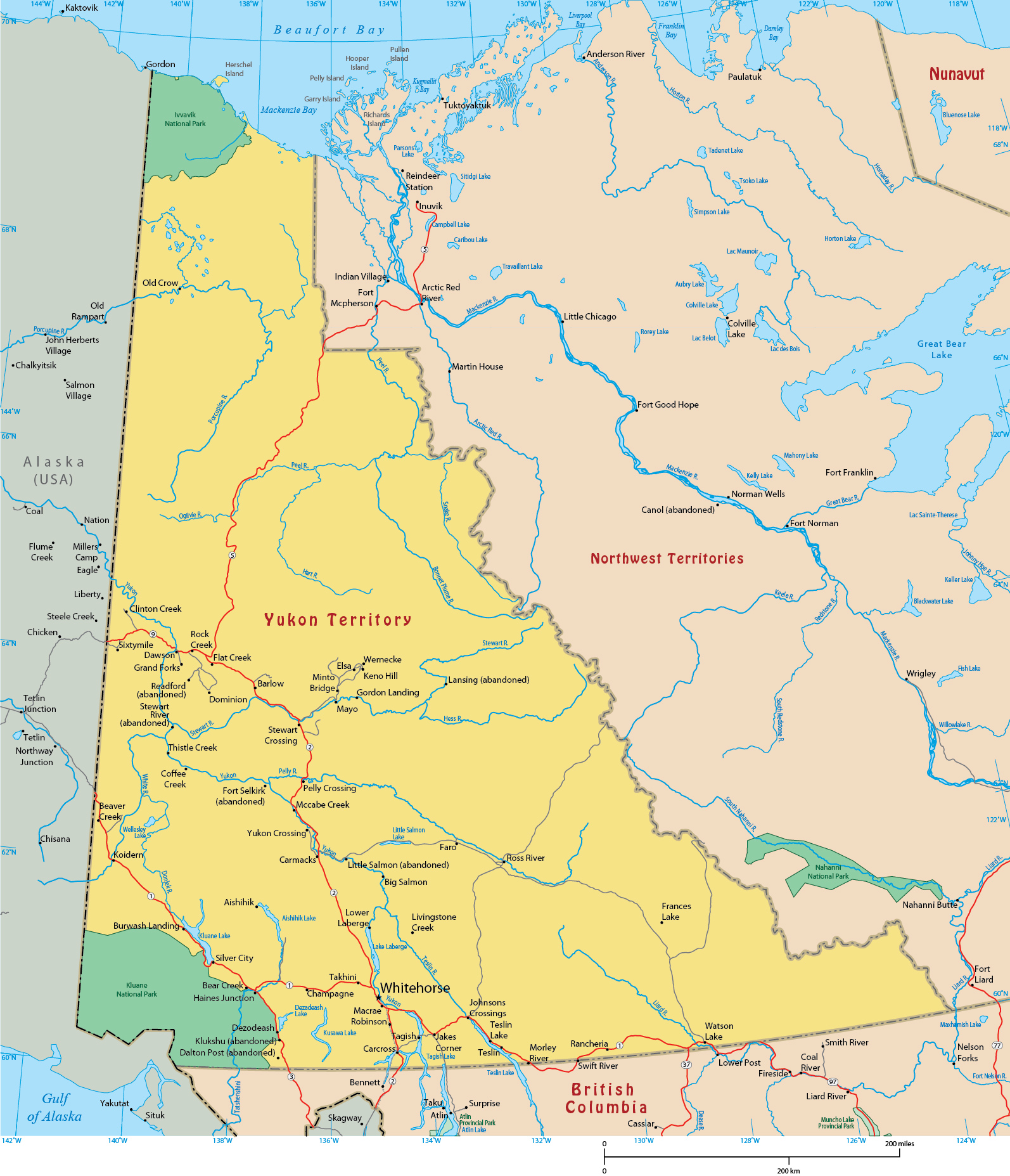
Map of Yukon

Yukon became a territory of Canada in 1898. Total area - 482,443 km². Yukon represents 4.8% of Canada’s total land area. Mount Logan of the St. Elias Mountains in the Kluane National Park is the highest peak in Canada, with an elevation of 5,959 m above sea level.
Main Rivers: Donjek, Klondike, Liard, MacMillan, McQuesten, Nisutlin, Peel, Pelly, Porcupine, Ross, Snake, Stewart, White, Wind and Yukon.
Main Lakes: Aishihik, Bennett, Dezadeash, Frances, Kluane, Kusawa, Laberge, Little Salmon, Marsh, Mayo, Quiet, Tagish and Teslin.
Climate: Most of Yukon has a sub-arctic continental climate with a longer winter and a shorter but pleasant summer com- pared to most southern provinces. Temperature across Yukon communities varies according to their geographic locations.

|
Copyright © Geographic Guide - Maps World, America Continent. |
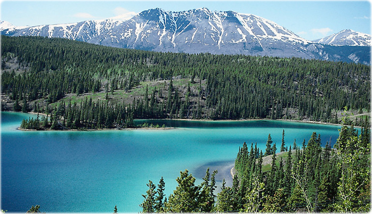
Emerald Lake in Yukon.

Map of Yukon