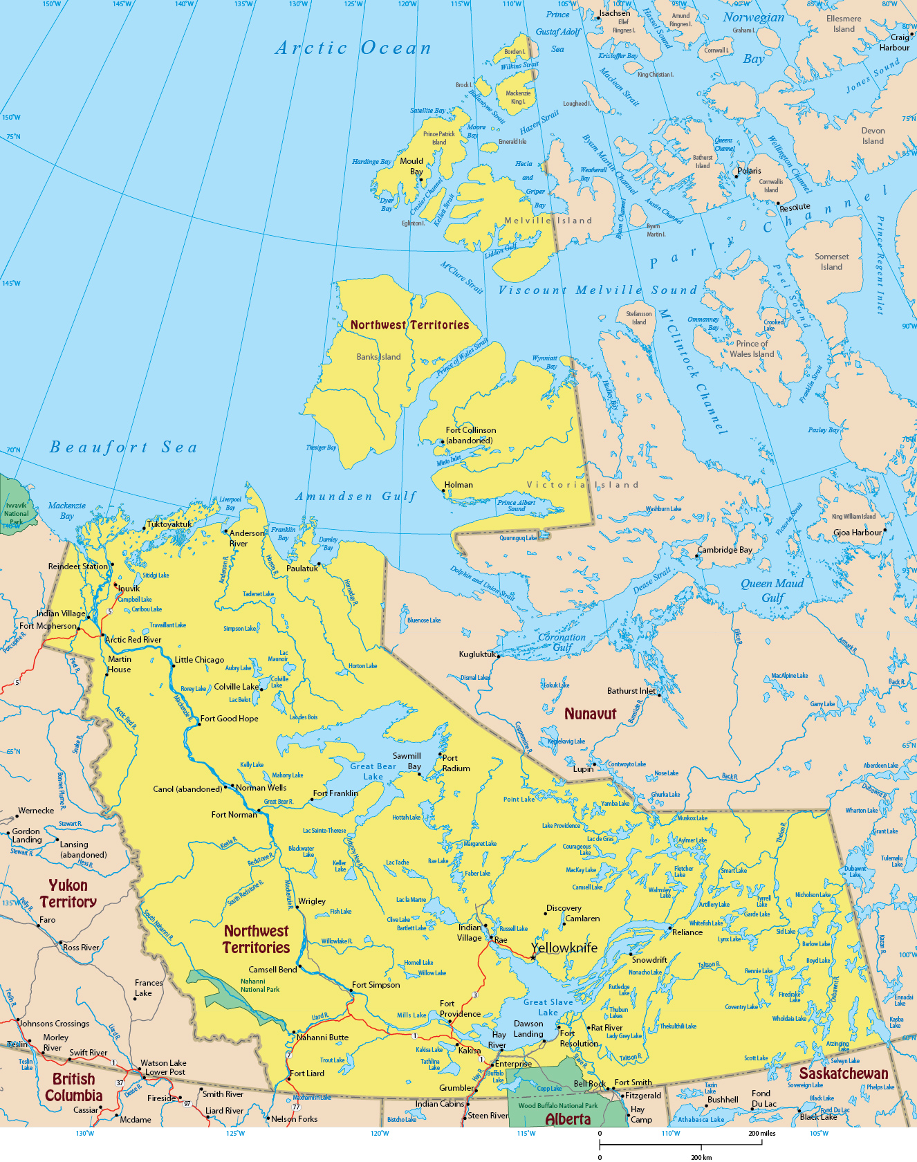
Map of the Northwest Territories - Canada
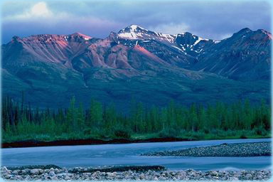
Mackenzie Mountains, NWT.
◄ Maps of Canada
Copyright © Geographic Guide - Maps World, American Continent.