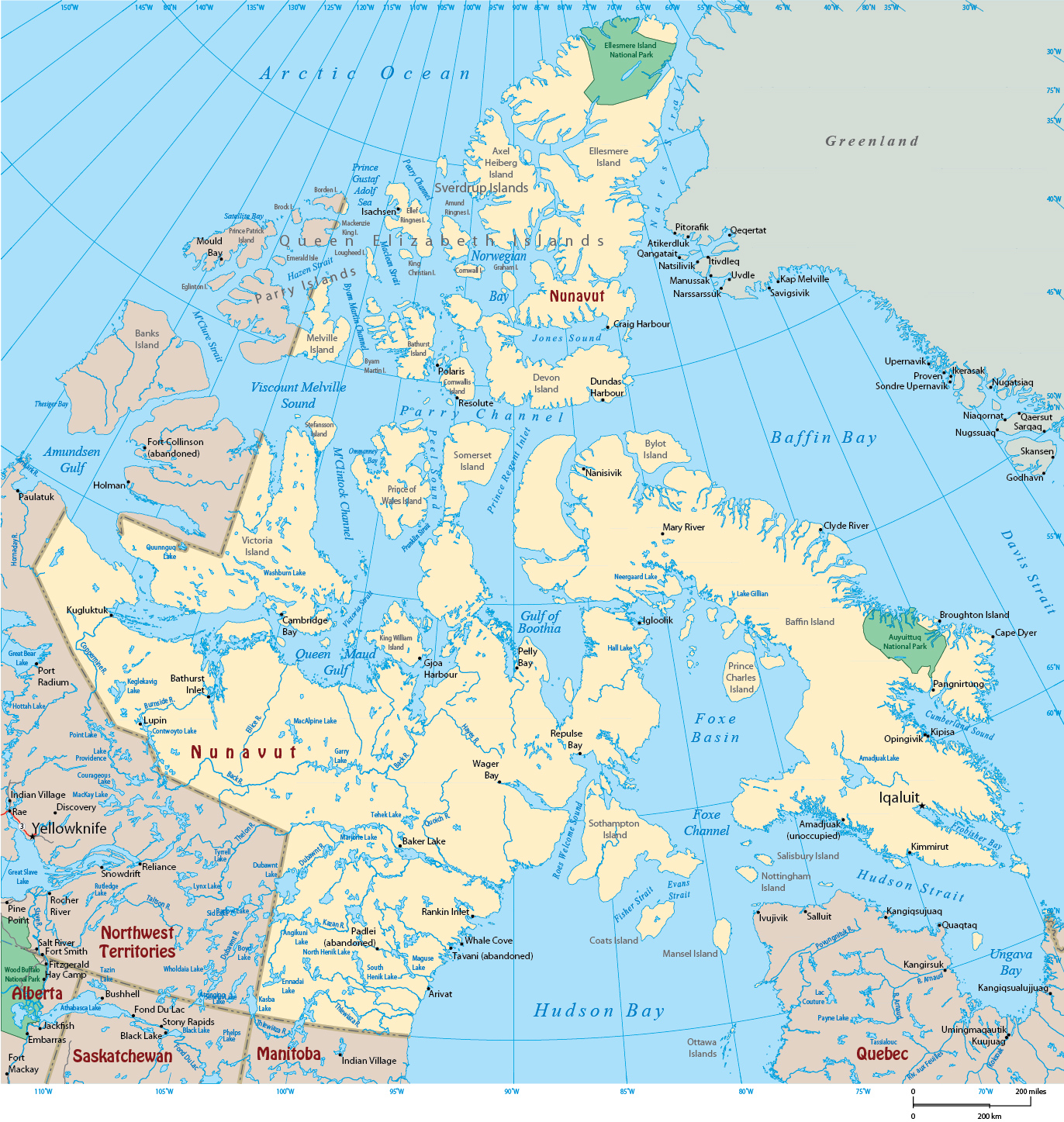
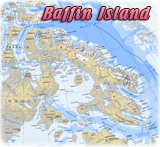
Map of Nunavut - Canada

Nunavut was established under the Statutes of Canada 1993, Bill C-132, assented to on June 10, 1993. This Act came into force on April 1, 1999. Nunavut is the largest, and northernmost territory of Canada, separated from the Northwest Territories. It is the least populous of Canada's provinces and territories. Nunavut includes part of the mainland, most of the Arctic Archipelago, Baffin Island and all of the islands in Hudson Bay, James Bay, and Ungava Bay, including the Belcher Islands. It is divided into three administrative regions: Kitikmeot Region, Kivalliq Region and Qikiqtaaluk Region.
|
Copyright © Geographic Guide - Maps World, North America. |
Map of Nunavut - Canada
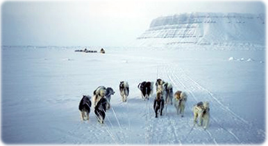
Dog teams in Devon Island, Nunavut.