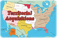
19th Century Map of United States
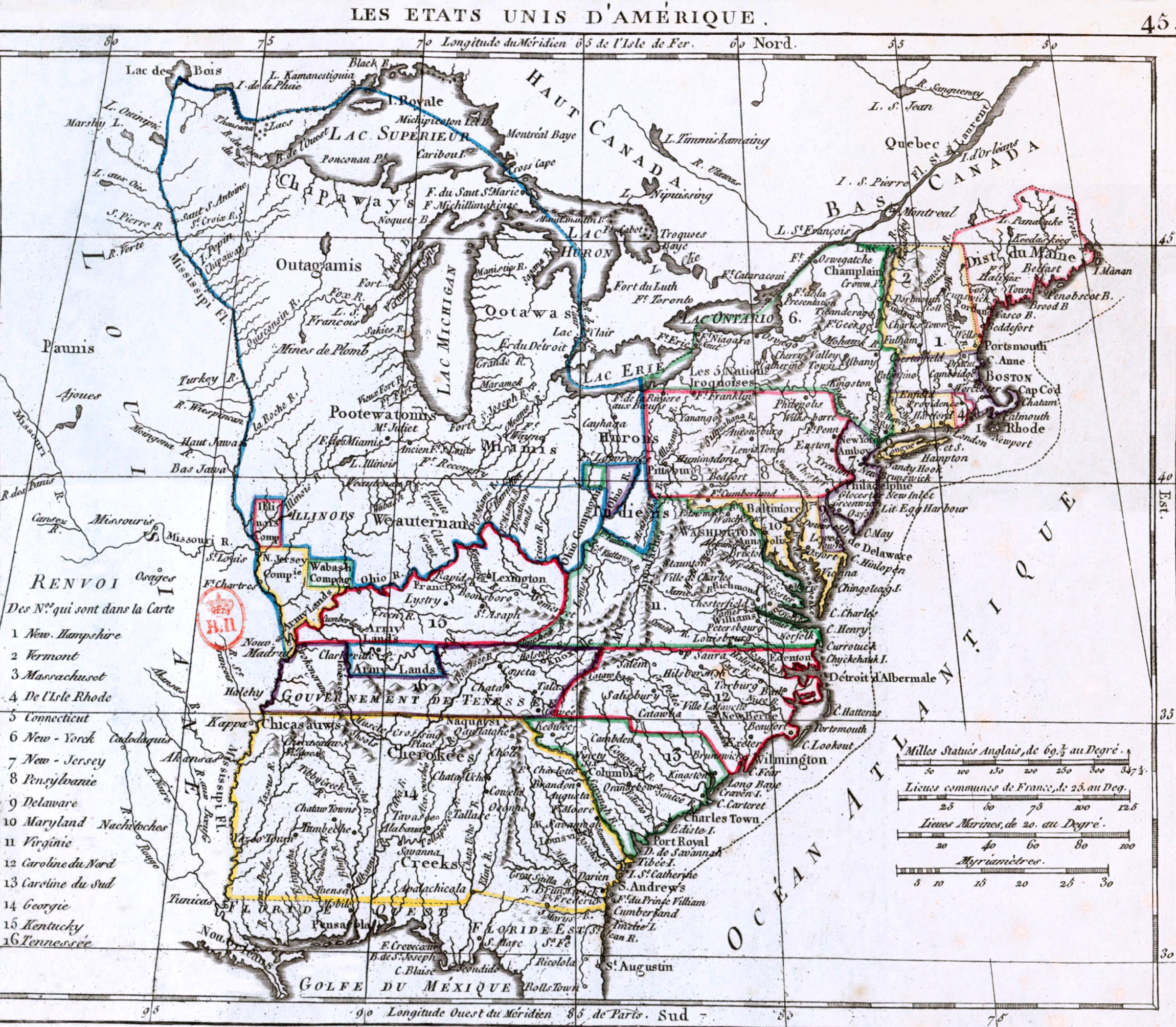
This is a map from the Atlas portatif contenant la géographie universelle ancienne et moderne, Paris, Desray, published in 1806. Original title: Les Etats Unis d'Amérique. Author: Eustache Hérisson. Note: the territory of Louisiana was purchased by the United States, in 1803, from France.
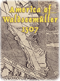
The name AMERICA was put for the first time on Brazil, in 1507.
|
Copyright © Geographic Guide - Maps World. United States of America. |