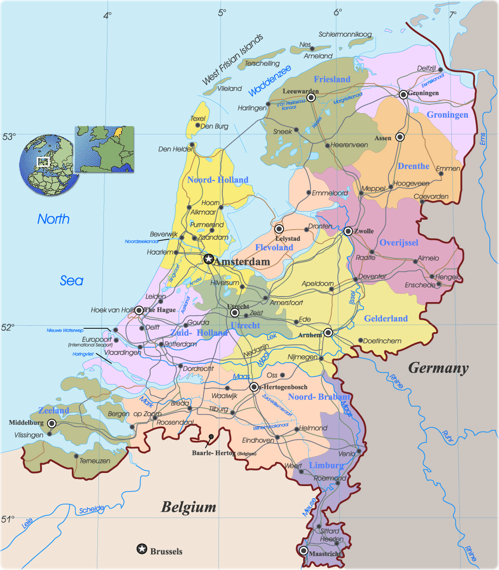
The Netherlands Map

The Netherlands is a country in Western Europe, politically divided into 12 provinces: Drenthe, Flevoland, Fryslan (Friesland), Gelderland, Groningen, Limburg, Noord-Brabant (North Brabant), Noord-Holland (North Holland), Overijssel, Utrecht, Zeeland (Zealand) and Zuid-Holland (South Holland). Border with Belgium and Germany.


|
Copyright © Geographic Guide - Maps World. European Continent. |
The Central Station in Amsterdam.