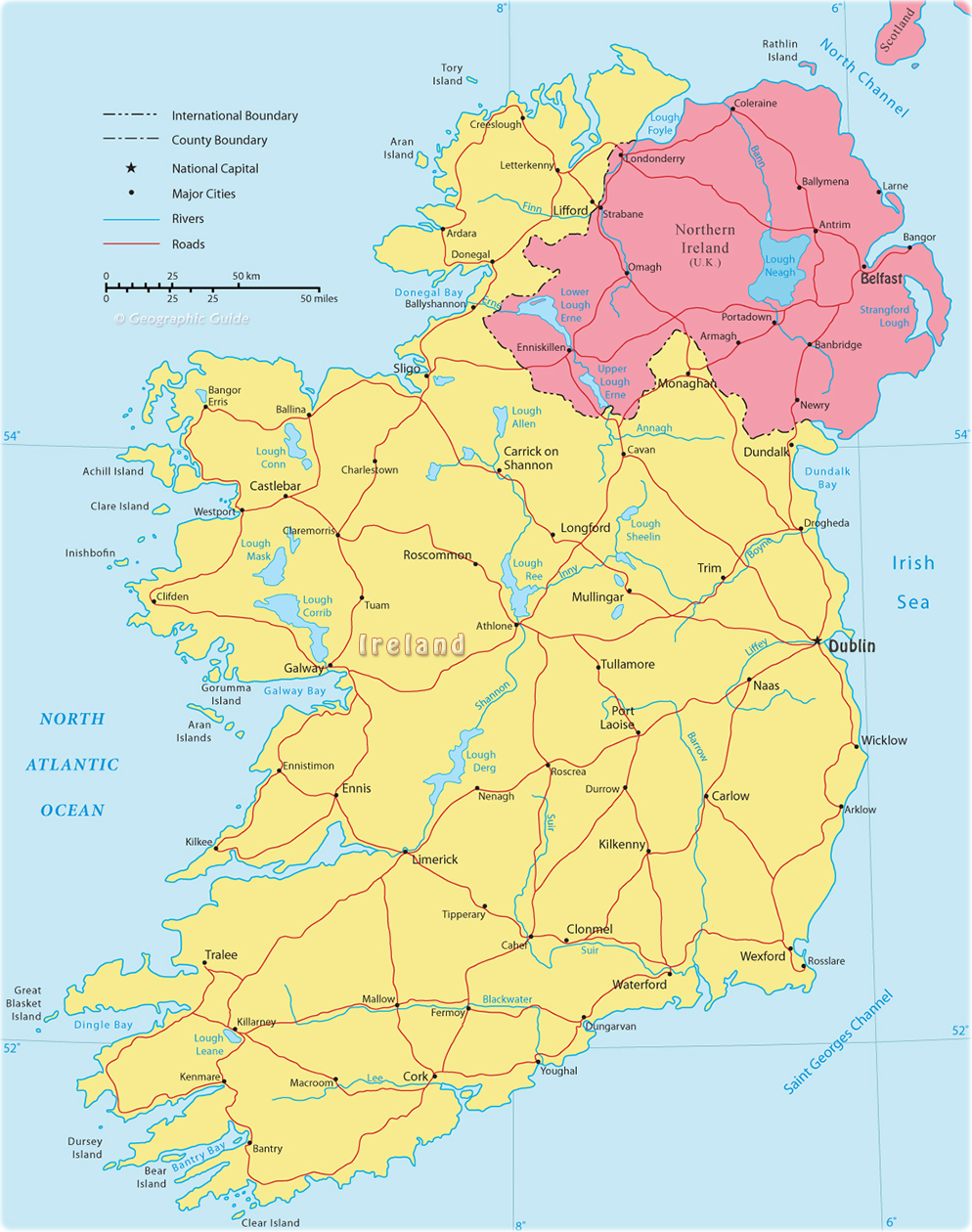
 Ireland
is a country in northwestern Europe occupying most of the island of Ireland. The
Republic of Ireland is separated from Great Britain to the east by the North
Channel and the Irish Sea, and to the southeast by Saint George’s Channel. The
western and southern shores of Ireland meet the North Atlantic Ocean. Ireland’s
only land border is with Northern Ireland, a province of the United Kingdom of
Great Britain and Northern Ireland, to the northeast. Ireland has an area of
70,273 km². The capital and largest city is Dublin.
Most Irish people made their living farming the land. Since the 1950s, industrialization policies have promoted manufacturing, which, along with services, now dominates Ireland’s economy.
Between the 12th and 17th centuries, England gradually extended its control over Ireland. It became an integral part of the United Kingdom by the Act of Union of 1800. During the late 19th century a movement for Irish independence gathered momentum, and after a bitter war the United Kingdom agreed to partition the island. In 1921 the northeastern portion of Ireland became Northern Ireland, a province of the United Kingdom. The remainder of Ireland became self-governing in 1922 with the establishment of the Irish Free State, a dominion within the British Commonwealth of Nations.
In 1937 the Free State’s name changed to Éire after the adoption of a new constitution by popular vote. In 1949, Ireland declared itself a republic. Today, the country is commonly referred to as the Republic of Ireland to set it apart from Northern Ireland. Ireland has sought to promote the eventual reunification of the island of Ireland.


