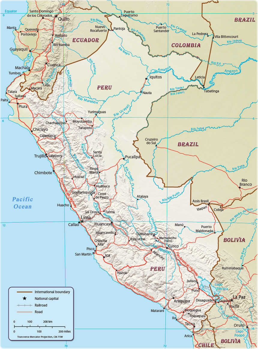
Map of Peru

Peru is a country in western South America, bordering the South Pacific Ocean, between Chile and Ecuador. It has also borders with Brazil, Bolivia, Ecuador and Colombia. The national capital is Lima.
|
Copyright © Geographic Guide - Maps World, American Continent. |

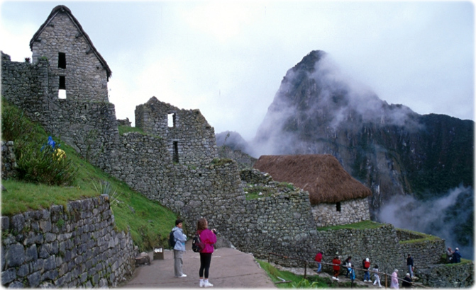
Ruins in Machu Picchu, Peru.

Source (edited): U.S. Central Intelligence Agency, Physiography (2006).
Map of Peru