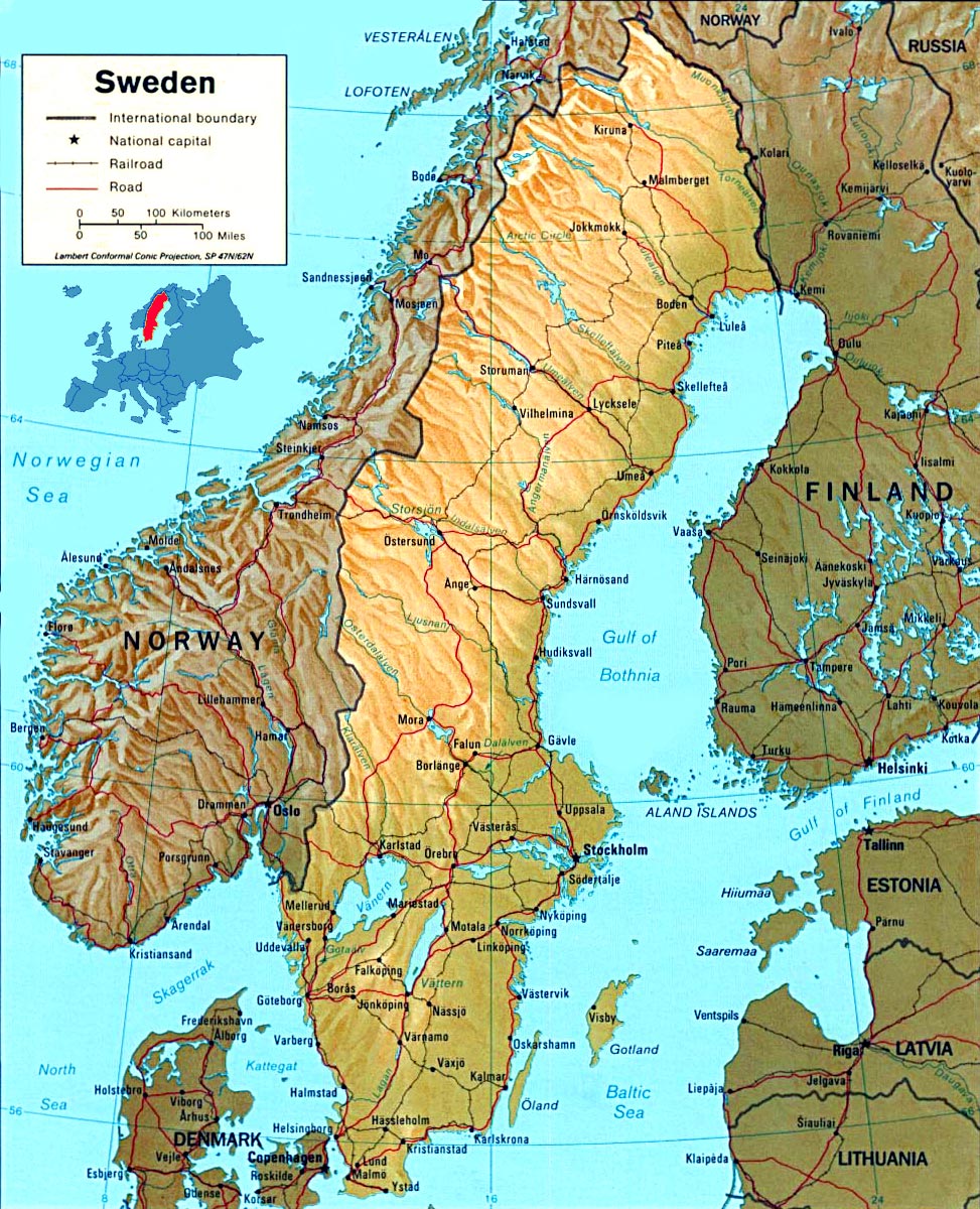
Physical Map of Sweden
The total area of Sweden is 450 km². The greatest distance from north to south in Sweden is about 1,575 km, and from east to west about 500 km. The coastline totals about 3,218 km in length. Much of Sweden’s coastline is rocky, but there are stretches of sandy beaches in the south. The Kjølen Mountains, the backbone of the Scandinavian peninsula, form much of Sweden’s hilly border with Norway.


Source: U.S. CIA.
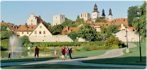
Visby is the capital of Gotland and the best preserved medieval city in Scandinavia.
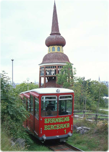
Trolley in Stockholm.

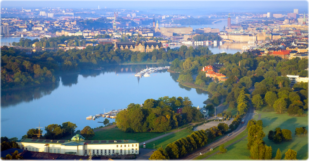
Djurgården, Stockholm
Ola Ericson
|
Copyright © Geographic Guide - Maps World, European Continent. |

Tuukka Ervasti